- Route difficulty: Easy
- Route type: linear, pedestrian
- Length: 9 km
- Duration: Tago-Shalta - 2 hours 45 minutes
- Shalta-Tago - 3 hours 10 minutes
- Max. Altitude - 1125 meters above sea level
- Cellular network coverage – full
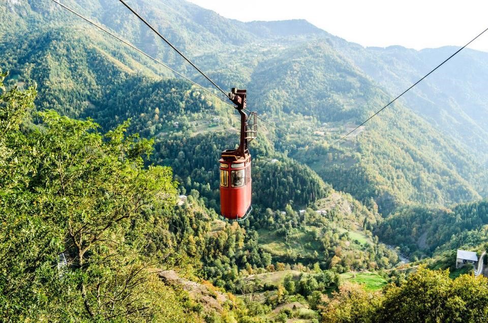
- Cableway length 1719 m (8 minutes)
- Season: late spring to late autumn
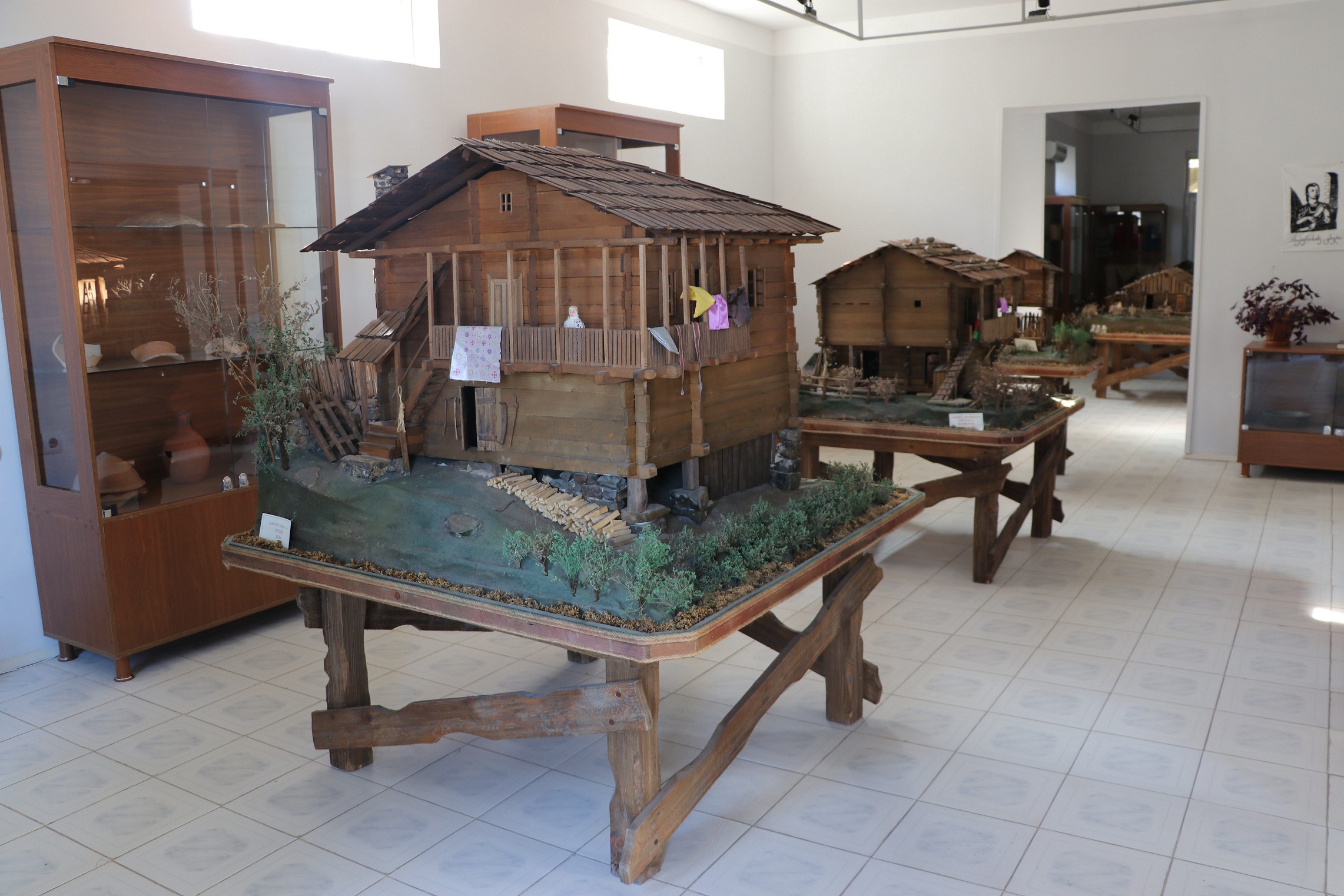
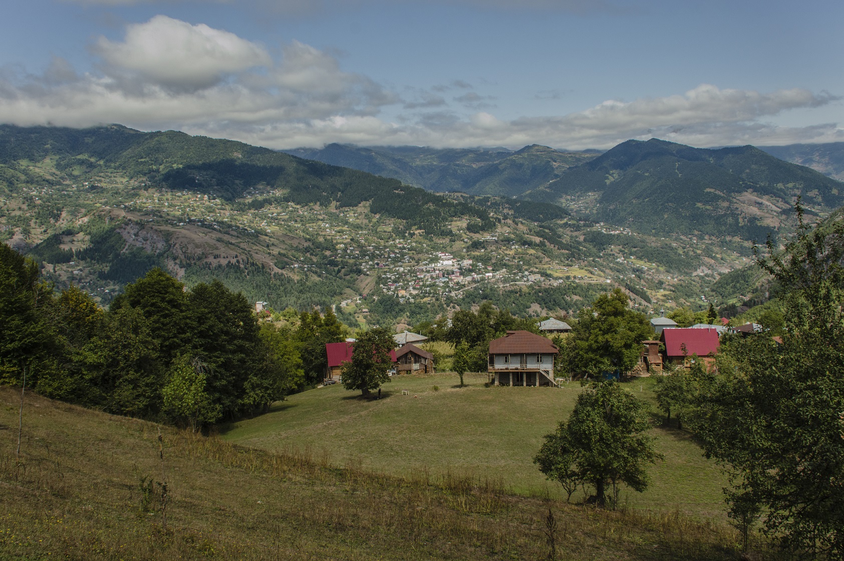
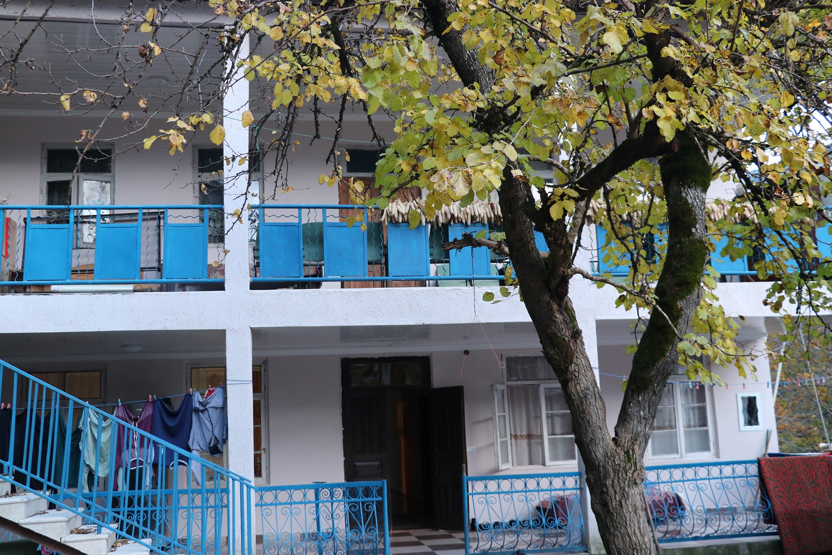
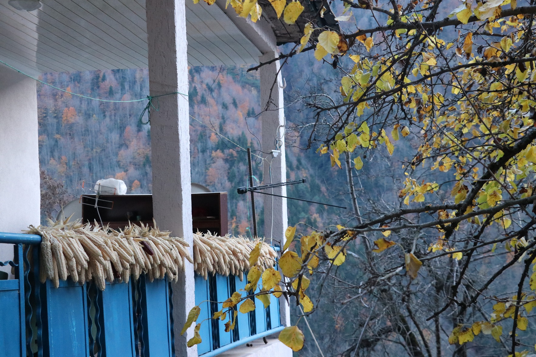
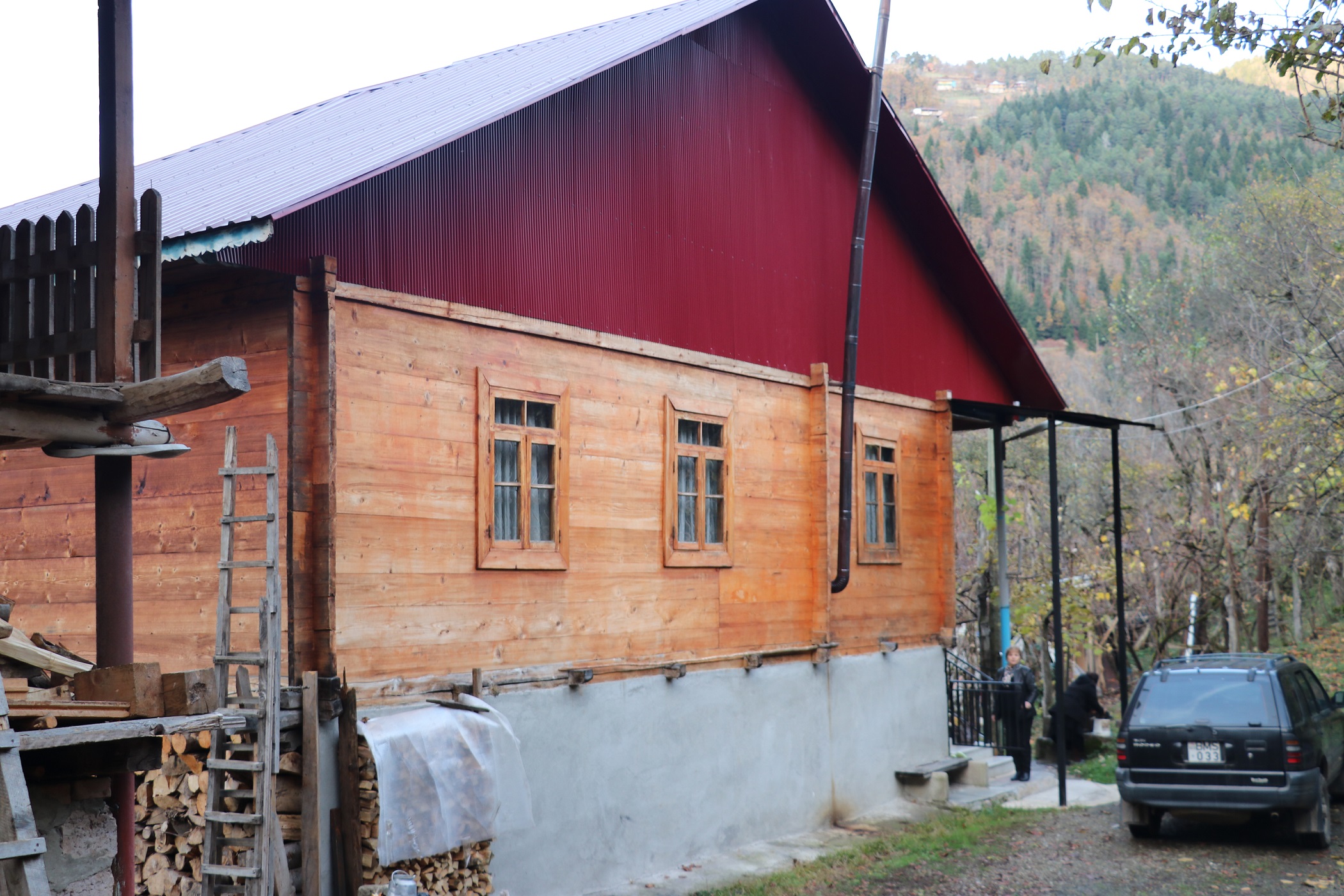
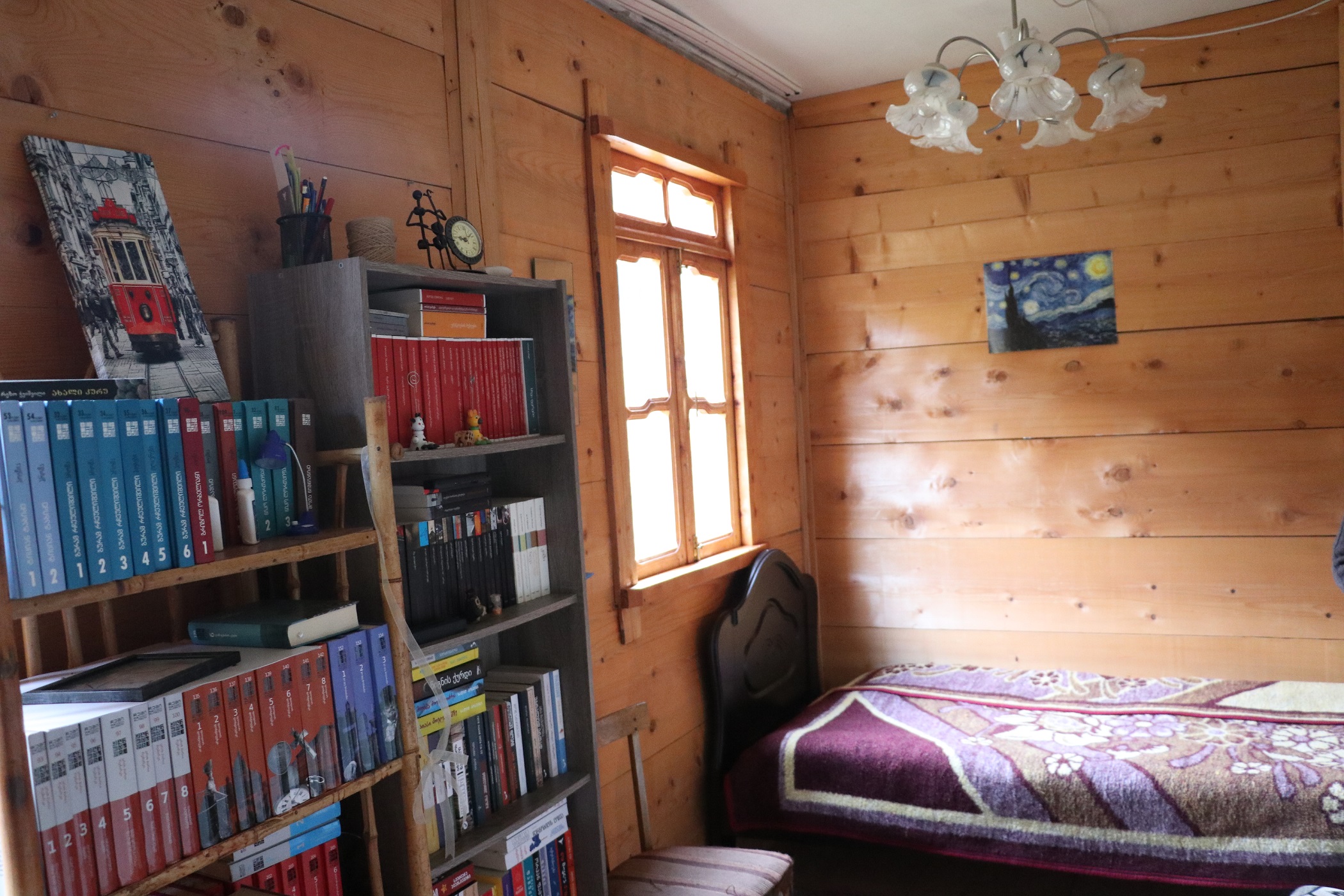
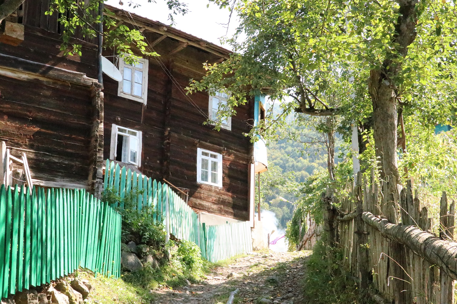
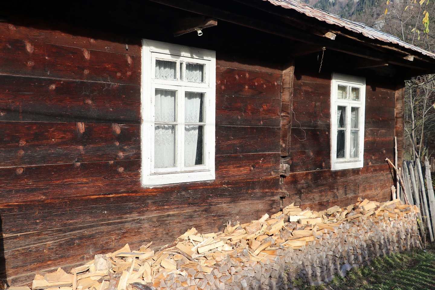
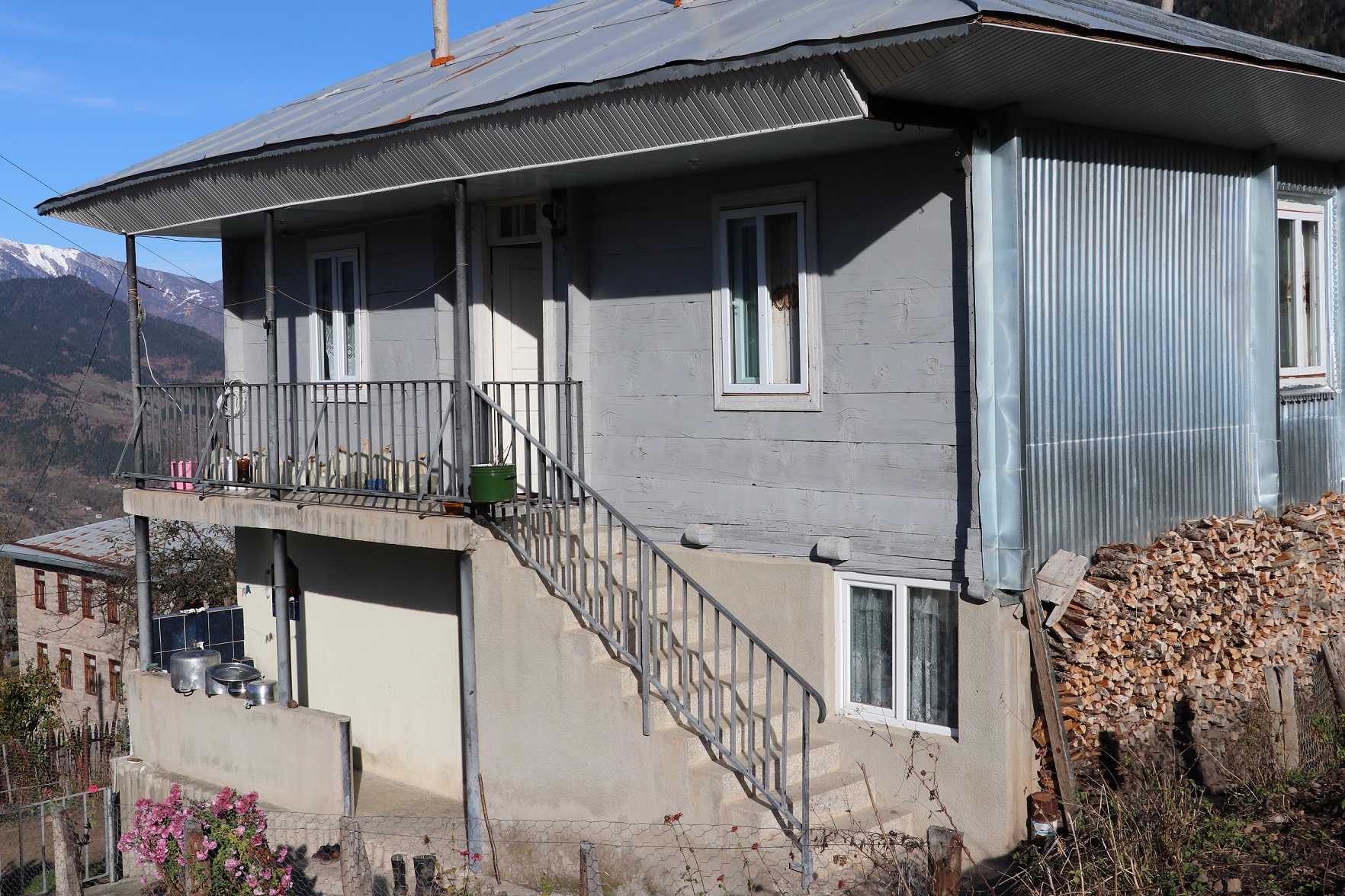
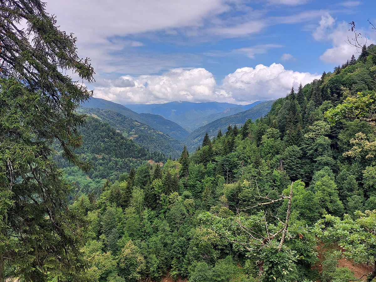
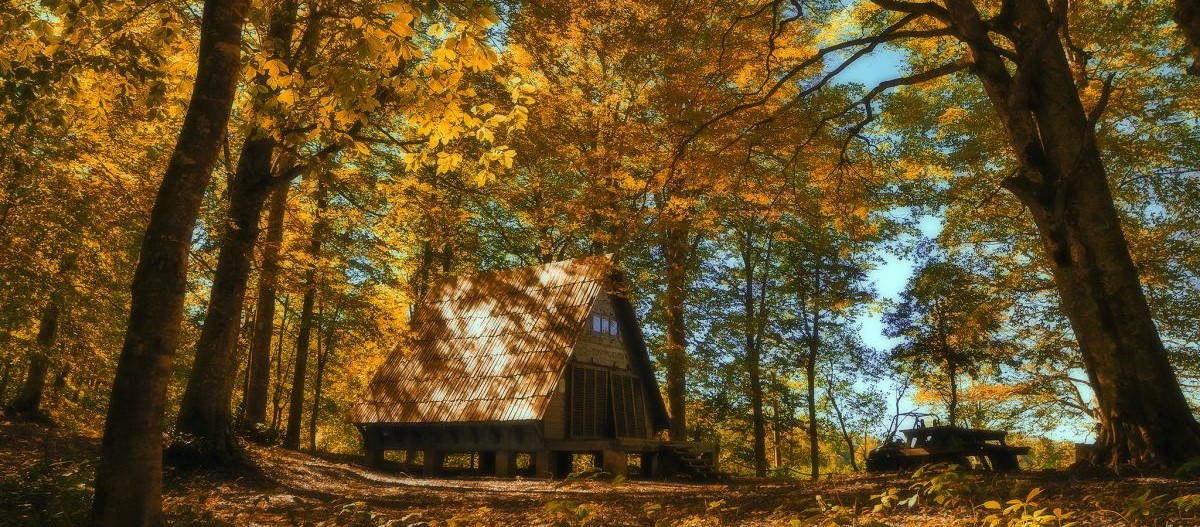
The Khulo-Skhalta hiking trail connects 2 gorges of the Khulo district of Adjara. The route is available in both directions. The main path starts from the center of Khulo, which is 85 km away from Batumi and ends in the Skhalta gorge (82 km from Batumi). You can hike the route from late spring to late autumn. The cable car connects the center of Khulo with the village of Tago. This cable car is the shortest way to the village. Traveling along, you can enjoy spectacular views of the valley and experience exciting emotions. The cable car is stretched over the river without a single support column. After passing a few tens of meters, you will see a typical Ajarian village with its specific houses, livestock in the courtyards, haystacks, apple trees, maize, logs by the houses, country roads and, of course, dense forests nearby. Guesthouses will provide an opportunity to stay for a few days and try the local cuisine. After 1.2 km, on the right side of the path, you will see a small meadow. It is a viewpoint to observe impressive panoramic views of the neighboring villages, mountains, and gorges.
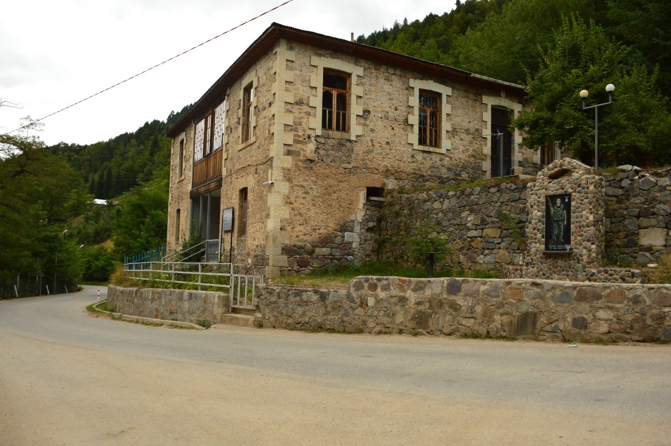
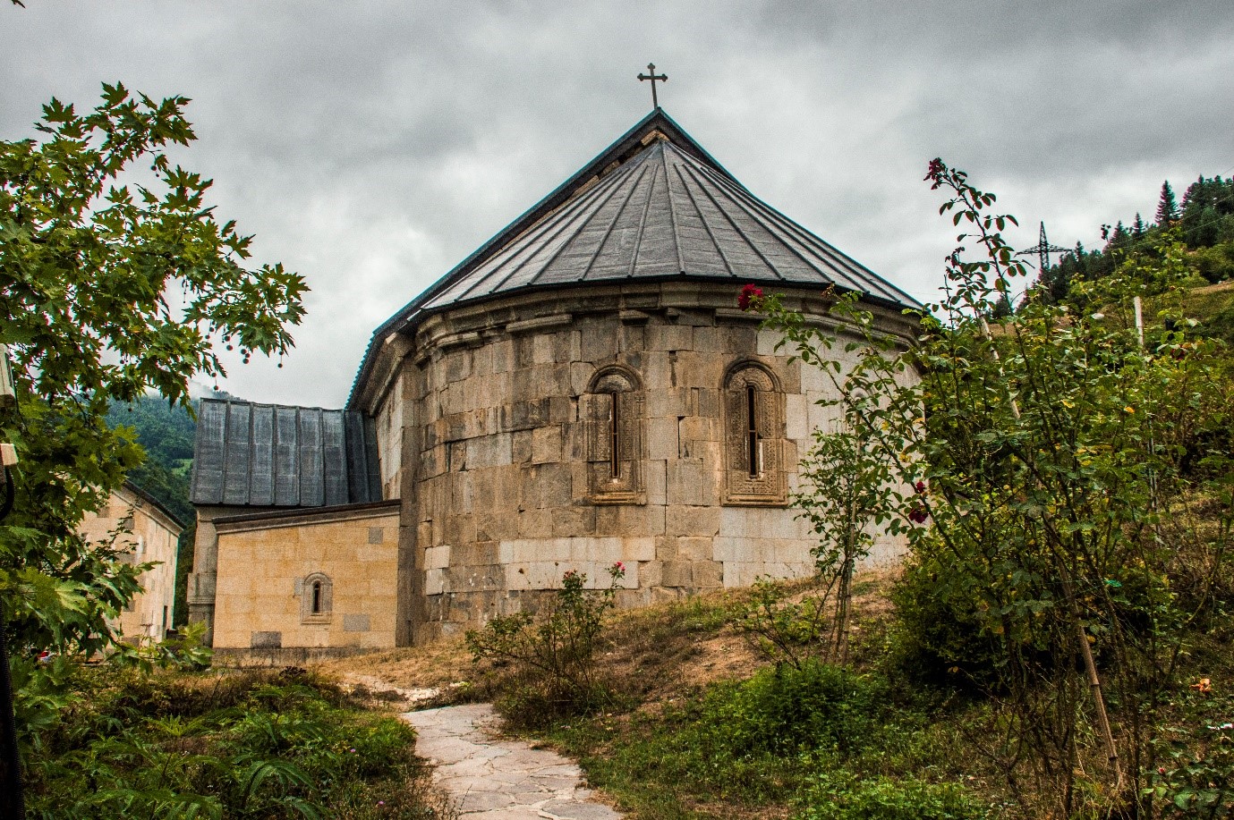
Furthermore, the route, for the most part, passes outside the settlements along the edge of the forest. You will see typical Caucasian vegetation with a large number of coniferous and deciduous trees. At the end of the route, you will reach the Skhalta gorge and its villages near the Skhalta Monastery (1.3 km) and the Sherif Khimshiashvili Museum . There are also several guesthouses in the Skhalta Gorge . Skhalta-Tago If you wish, you can start the trip from the Skhalta gorge and move towards the village of Tago. It may take longer to move from the Skhalta gorge because of the climb.
The route begins in the village of Qinchauri near the Skhalta monastery complex. The museum of Sherif Khimshiashvili is 700 meters from the monastery, on the right side of the road. The sight is dedicated to the last ruler of Upper Adjara. After 500 meters from the museum, the route turns from the central road to the right and goes to the mountains, to the village of Gurdzauli. The motorway ends there. A pedestrian path (a rise of about 1 km) that continues the route allows tourists to rest in guesthouses. You can spend a night and eat there . The cable car from the high point will bring you to the center of Khulo. Get in the desired direction by city transport.
Transport
Regular minibus
Batumi-Khulo: daily from 8 am to 12 am - every hour, from 12 am to 6:30 pm - every 30 min. Fare - 5 GEL.
Khlo-Batumi: daily from 9 am to 6:30 pm every hour. Fare - 5 GEL.
Batumi - Skhalta: 9 am, 3 pm. Fare - 5 GEL
Skhalta - Batumi: 9 am, 3 pm. Fare - 5 GEL
Tel: 0423 270095
For more information on transport and guides please call Tourist Information Centres Tel: +995 577 90 90 93 / +995 577 90 90 15 or travel agencies, contacts of which can be found at the official website of the Department of Tourism and Resorts of Adjara www.adjara.travel.com