It is necessary to take into account the fact that the road from the Shuamta lakes to the Khikhani fortress runs close to the Georgian-Turkish administrative border and it is necessary to obtain prior permission.
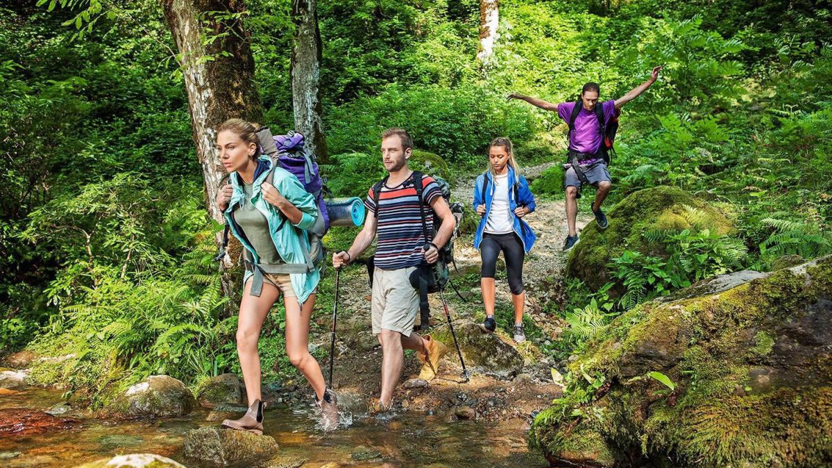
Route type: circular, mixed: car (4x4) and pedestrian, bicycle and horse.
Difficulty of the route: medium
Duration of the route: 1 day
Total length of the route: 32-33 km
Length of the pedestrian section of the route (in two directions): 3 km
Maximum altitude: 2216 m above sea level
Cellular coverage area: partial
Seasons: May-September
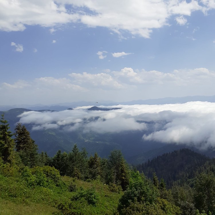
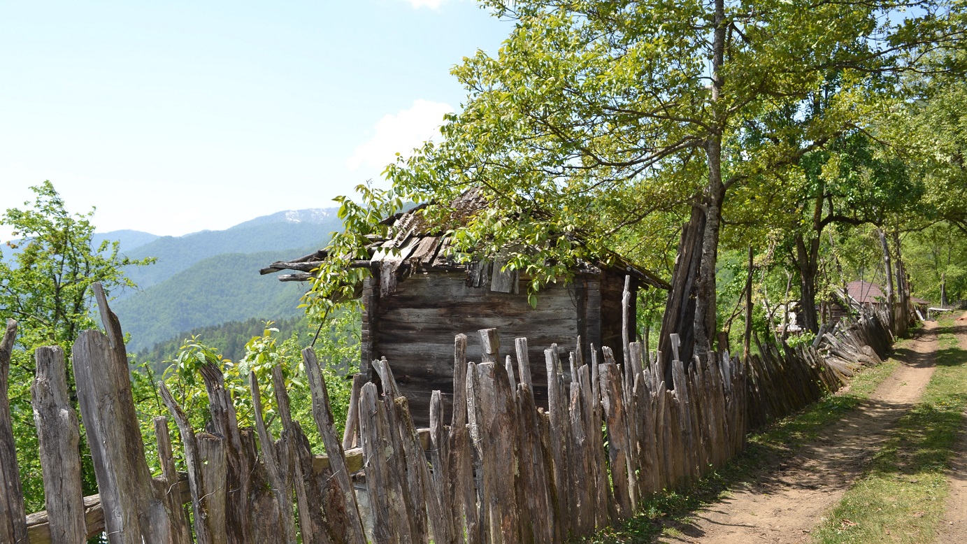
The starting point of the route is the village of Khikhadziri (Khulo municipality), 41 km from the center of Khulo and 116 km from Batumi). The route follows the road (3.3 km) and reaches the village of Kveda Thilvana (here you can see the mosque and the remains of the old church). Further, the route goes around Kveda Tkhilvan and goes uphill in the north-east direction. After 6 km the trail turns to the road connecting the Goderdzi pass and the village of Khikhadziri. After 2.2 km, you can relax on the pass with beautiful views. The most beautiful and largest lake of the four Shuamta lakes is located 200 meters from the pass, between the alpine meadows. There are summer pastures and temporary dwellings, which are used in summer for living during the grazing of livestock. Here, visitors can taste typical local dishes and, if they wish, have a cooking masterclass. From the pastures, the route continues to the south and passes through three more small lakes, descends and after 2.5 km enters the Yaila Tsipnara, where you can enjoy the most beautiful views of mountains and meadows. The route from the Tsiplnara passes through the gorge of the Chachuni River and after 2 km goes to the border checkpoint. On the way (1.5 km from the village) you can see another beautiful lake.
At the border checkpoint, visitors will pass a mandatory simple inspection and continue on their way to the Khikhani fortress. After 1.5 km from the border crossing, the route continues along a footpath that steeply rises to the Khikhani fortress complex (X-XI, XVII-XIX centuries).
The 1.5 km trail runs through the forest and is classified as medium difficulty. The Khikhani fortress complex is located at an altitude of 2216 m above sea level (the highest altitude of the route). Part of the complex has been restored, but many historical fragments have also survived. From here the route continues again to the village of Khikhadziri.
Traveler Information:
1. You'd better travel by off-road vehicle (4x4);
2. When riding a bike, it is recommended that you bring drinking water with you
3. here is no need to take food with you, you can eat in every village and on summer vacations
4. Climbing the Khikhani fortress complex is not recommended for people with heart problems or blood pressure (the path is steep, the elevation difference is about 400-420 m);
5. Be careful when hiking the trail after rain
6. Before passing the route or after passing it, travelers can visit tourist sites located in the village of Khikhadziri. Some of them are:
• Ruins of the fortress "Vardtsikhe" XI-XIII centuries;
• Ruins of the fortress "Tsikhiskeli" XI-XIII centuries;
• The remains of the church altar of the XI-XIII centuries in the village of Kalota ;
• Remains of a church in the village of Tikanauri in Khikhadziri, (X-XI century);
• Natural "refrigerator" in the village of Mtisubani;
• The grave of the last prince of Upper Adjara, a public figure, Major General Sherif Khimshiashvili in the village of Mtisubani;
• Place of beheading of Selim Khimshiashvili in the village of Baki-Bako;
• Guest houses in the village of Khikhadziri and Baki Bako;