ROUTE TYPE: CAR
ROUTE LENGTH FROM BATUMI TO GOBRONETI — 55 KM
ROUTE LENGTH FROM KEDA TO GOBRONETI — 10 KM
DURATION: 1 HOUR AND 15 MINUTES
ROUTE DIFFICULTY: EASY
ROAD TYPE: ASPHALT (50KM) AND DIRT ROAD (5 KM)
ALTITUDE: 806 M ABOVE SEA LEVEL
CELLULAR NETWORK COVERAGE: FULL
Route description
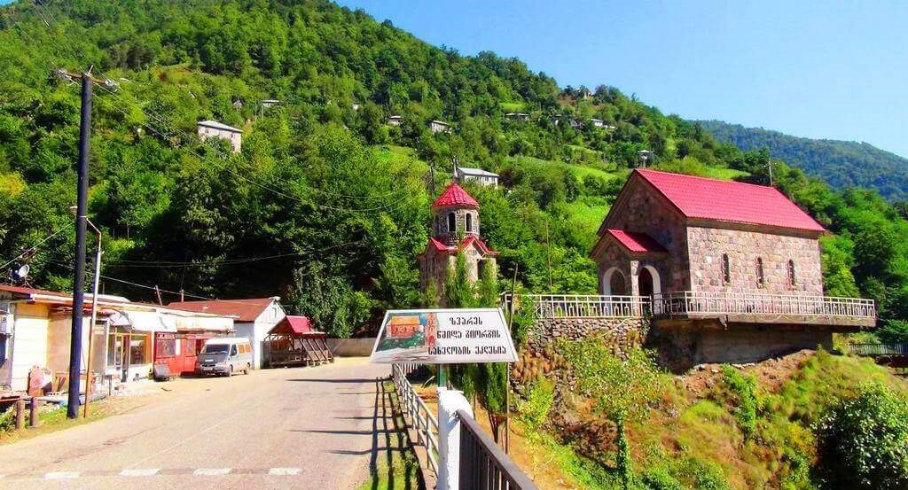
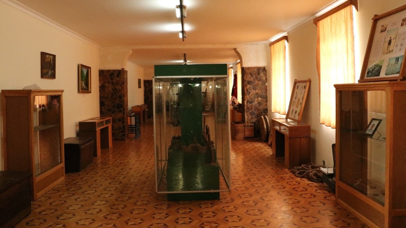
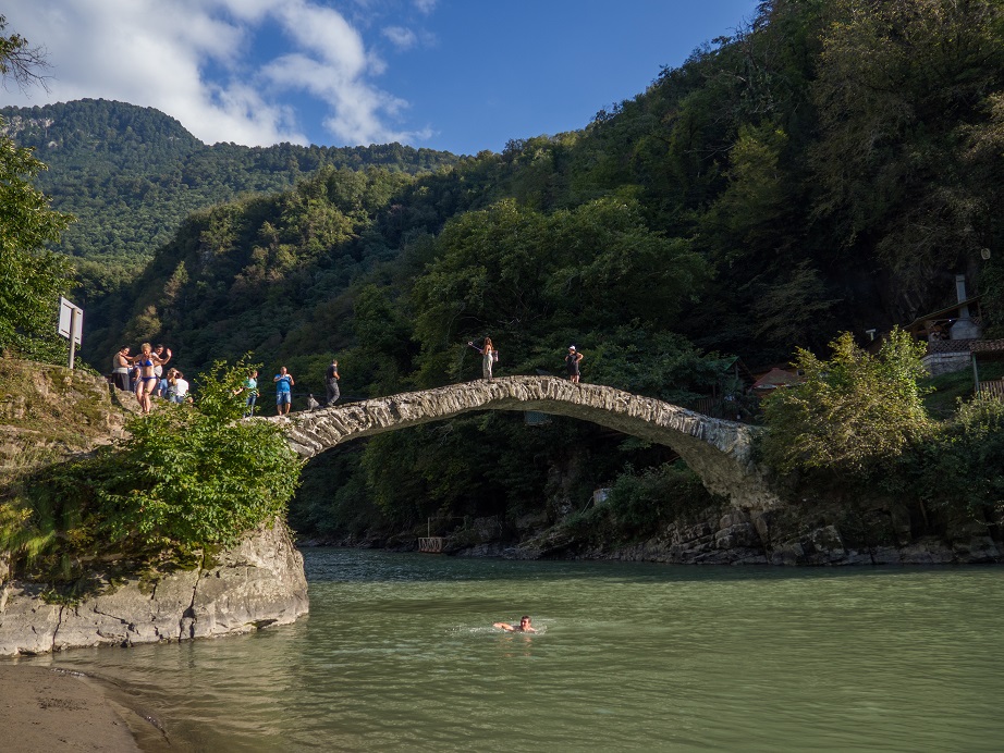
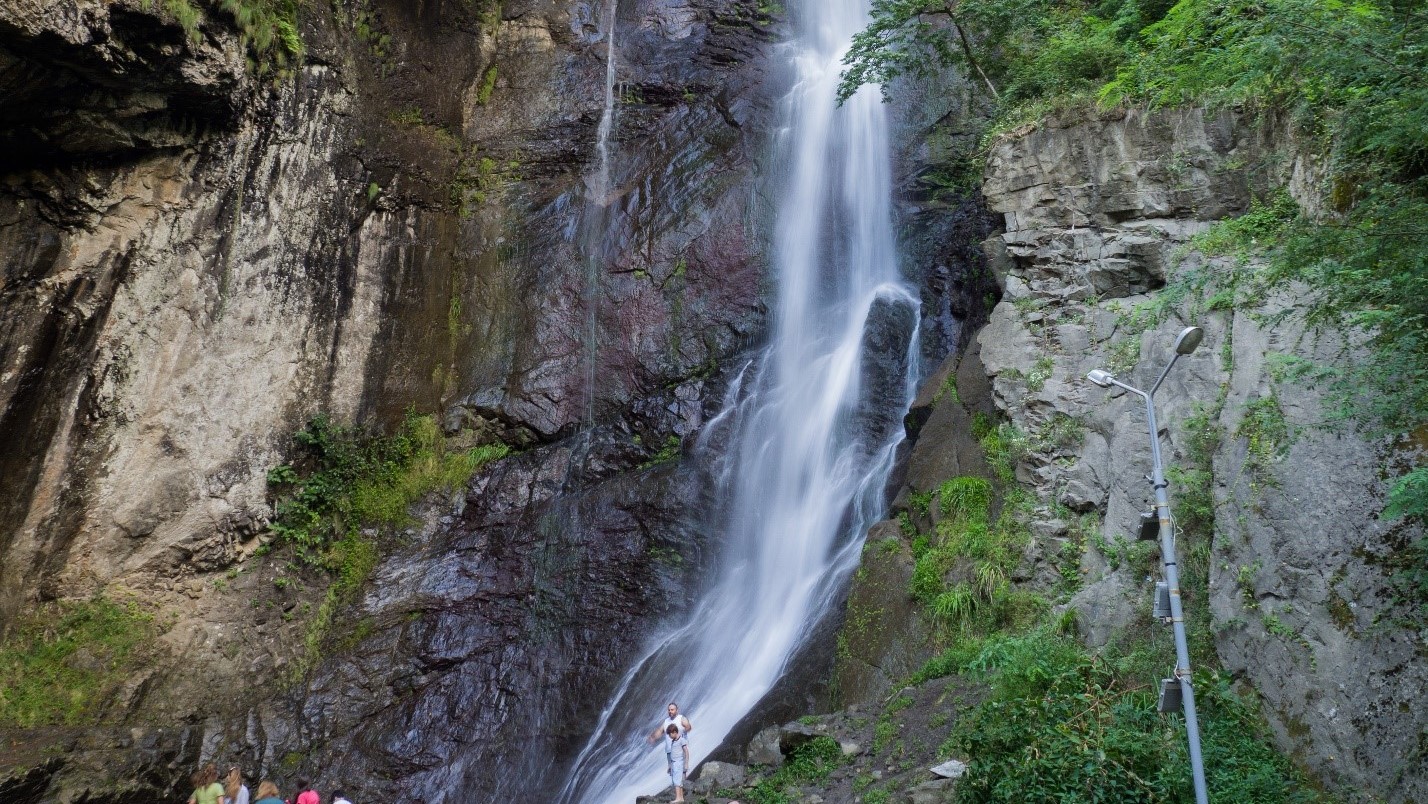
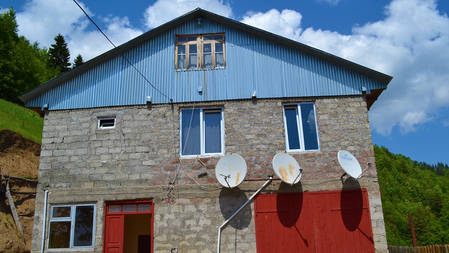
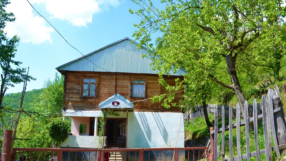
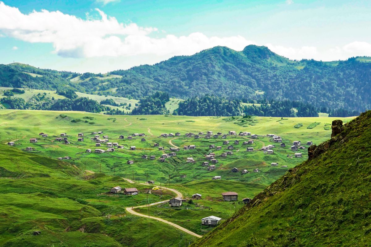
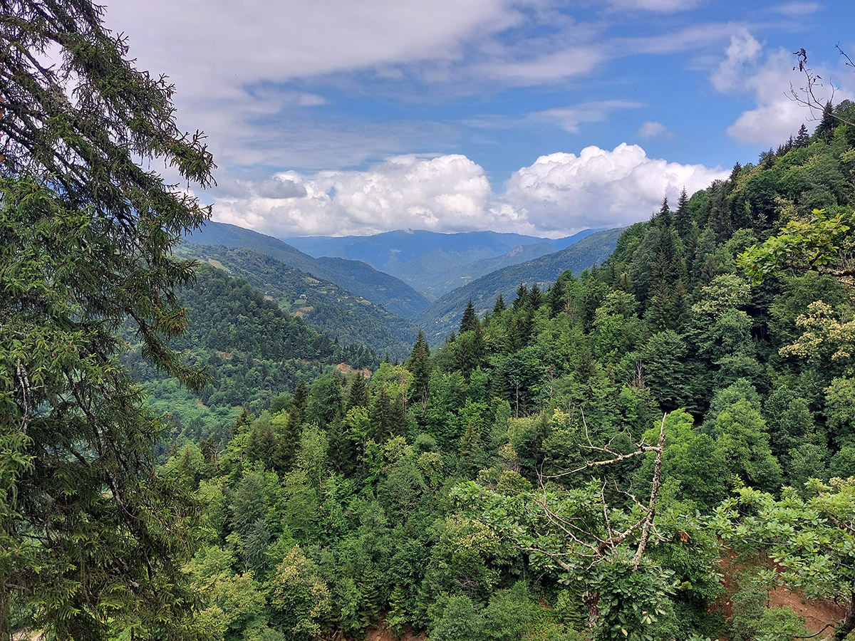
Gobroneti is one of the oldest villages in Ajara, which has preserved the traditions of its ancestors. It is located in Keda district, on a high mountain slope, with a beautiful view of the Ajaristskali River gorge and the surrounding villages. On the way to Gobroneti you can see historical and natural sights: the Makhuntseti waterfall, the arched stone bridge of Queen Tamar, Zvare church and the museums.
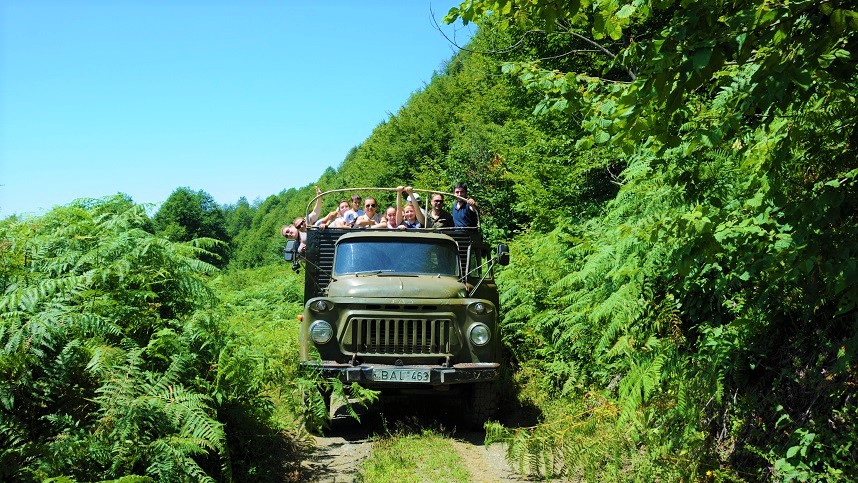
The route starts from the tourist information center in Keda, from where you need to drive 12 km along the Batumi-Akhaltsikhe main road until you reach the road sign leading to Gobroneti. At Gobroneti sign turn left and drive another 5 km on dirt road to the Gobroneti guesthouses.
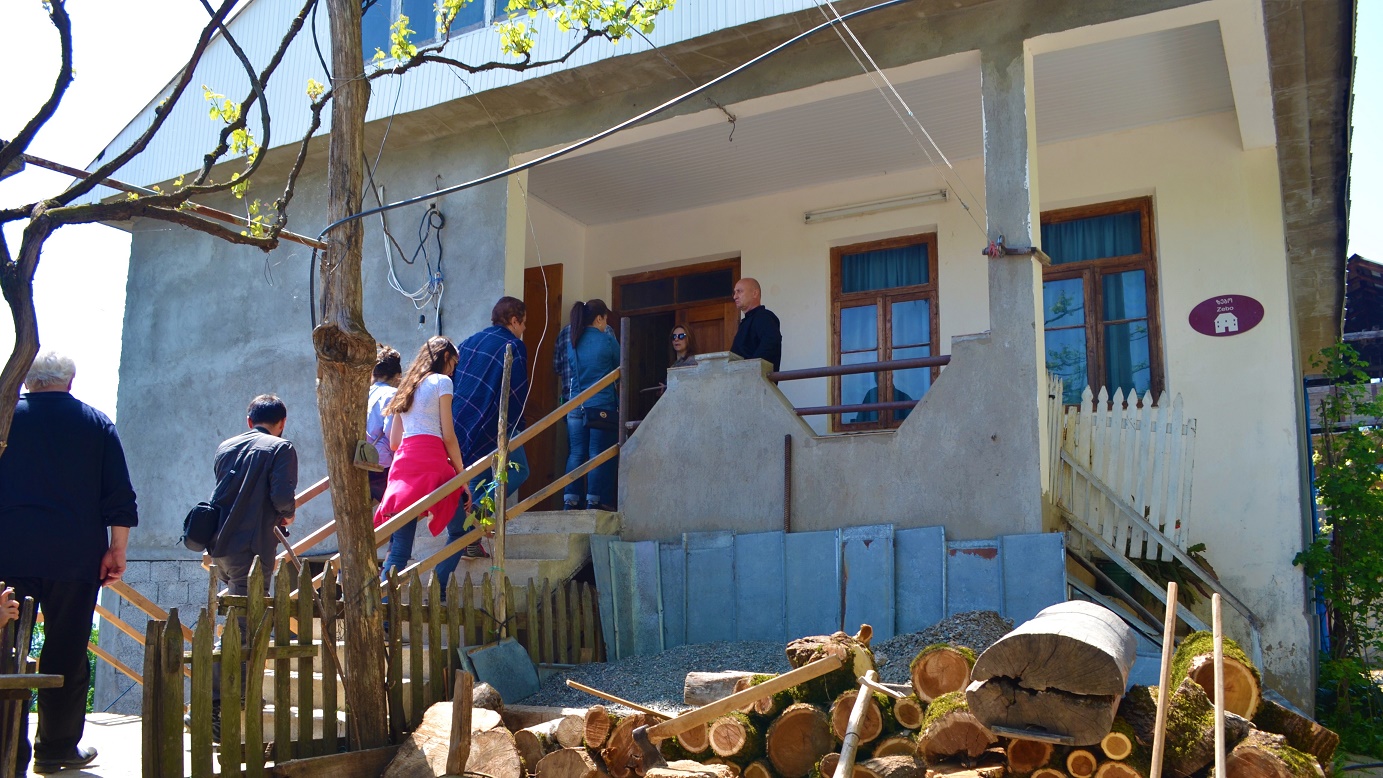
Here you can taste traditional Ajarian dishes, take part in cookery workshops, listen to Georgian polyphony, learn about unique Ajarian traditions and villagers’ life and take part in their activities: tobacco refining, cheese and chacha (Georgian vodka) making process.
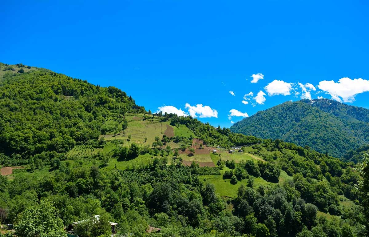
You can also devote one day to exploring the surrounding area of the village. Walking along this route, you can see the waterfall, the Colchis forest and the surroundings of Latevra Mountain. Here you can see traces of wild animals, the flora of Colchis and different birds.
After approx. 6 km you will reach the Gorboneti waterfall (22 m height). Next, you will have to climb up a steep slope for about 1 km and finally reach the Latevra Mountain. Here you can see the seasonal houses for shepherds, taste some, traditional organic foods and have an overnight Geographic Objects stay if required. There is also a mountain spring and a small picnic place here. If you continue your journey you will be back in Gobroneti village in 5 km.
While traveling along the circular route to Latevra Mountain, you can also get to summer pastures (yaylas) by jeep or horse and then walk back to Gobroneti (6 km).
TRANSPORT
You can get from Batumi to Gobroneti village by municipal transport or during organized or individual tours.
- The mini bus "Batumi-Gobroneti" leaves from Batumi bus station on Mondays and Fridays at 16:15. The price is 4 GEL.
- By taxi. The price is about 80-100 GEL.
For more information on transport and guides please call Tourist Information Centres: Tel: +995 577 90 90 91 / +995 577 90 90 93 or travel agencies, contacts of which can be found at the official website of the Department of Tourism and Resorts of Ajara www.gobatumi.com
TIPS FOR HIKING IN THE MOUNTAINS
- Hire an experienced local guide, the route is marked and passes through the wild areas.
- Wear hiking clothes and shoes or boots with extra protection. It is advisable to choose tops with long sleeves and pants. Wearing pants will keep your legs protected from allergenic plants, and keeps you warmer if the temperature drops.
- You may need trekking poles. If you have no trekking poles you can find some sticks in the forest.
- Take water and first-aid kit with you