ROUTE TYPE — CAR
FROM BATUMI TO THE CENTER OF KEDA — 40 KM FROM THE CENTER OF KEDA TO MERISI — 9.5KM/11KM/16 KM
DURATION — 5-6 HOURS
ROUTE DIFFICULTY — EASY
ROAD TYPE — ASPHALTED AND DIRT ROAD
ALTITUDE — 505-693 M, MTIVNARI MOUNTAIN - 1566 CELLULAR NETWORK COVERAGE — FULL
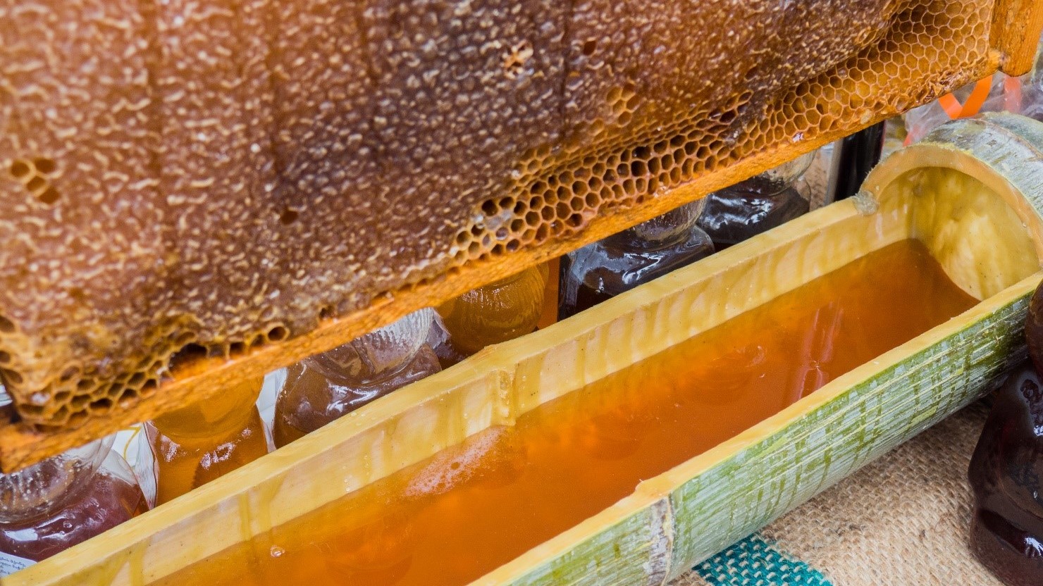
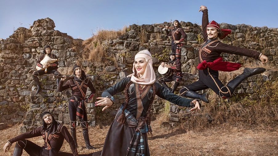
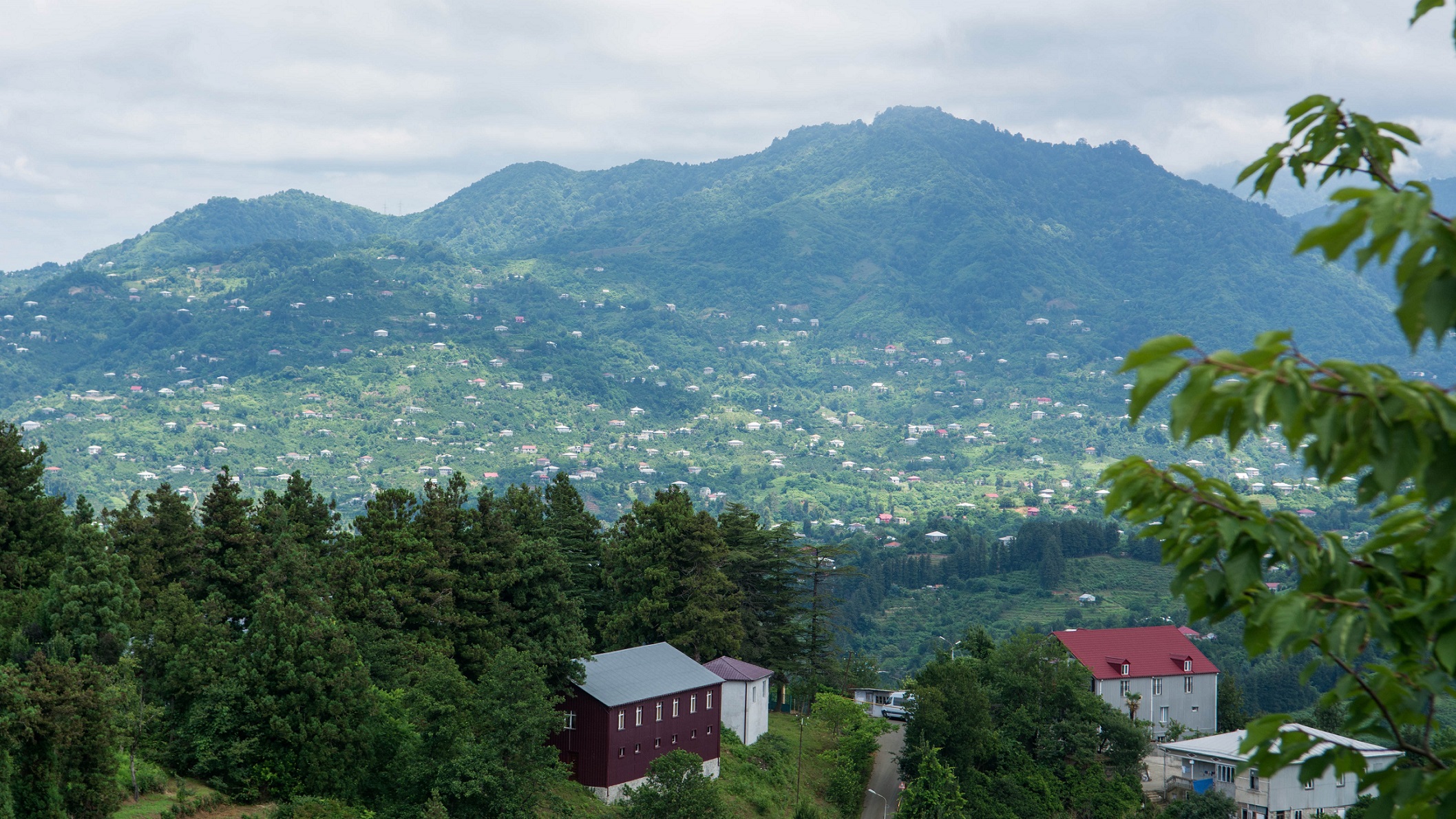
Merisi village is an ideal place for those who want to relax in nature, get acquainted with the Adjarian village, taste special dishes of local cuisine, enjoy unique Merisi folklore and go hiking in the mountains.
You can travel all year round on this route. The road is marked, which greatly facilitates the navigation.
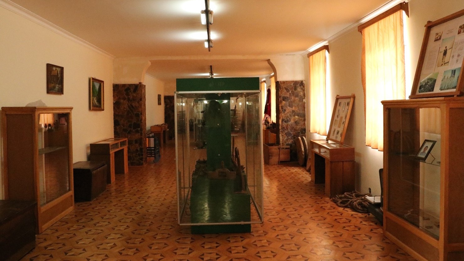
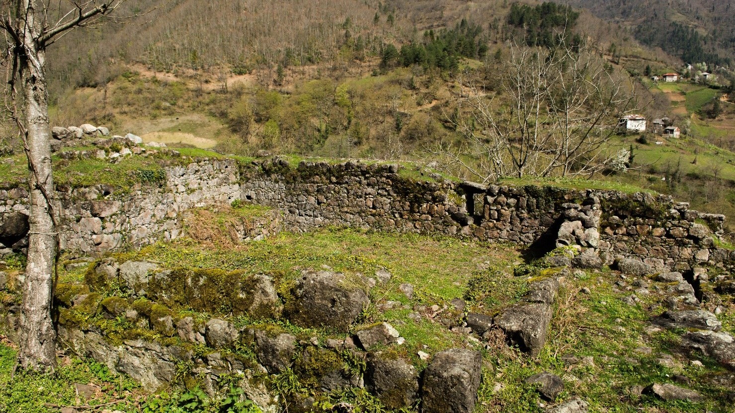
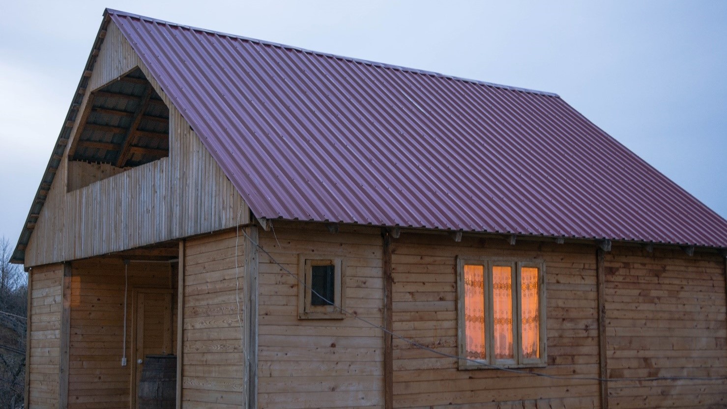
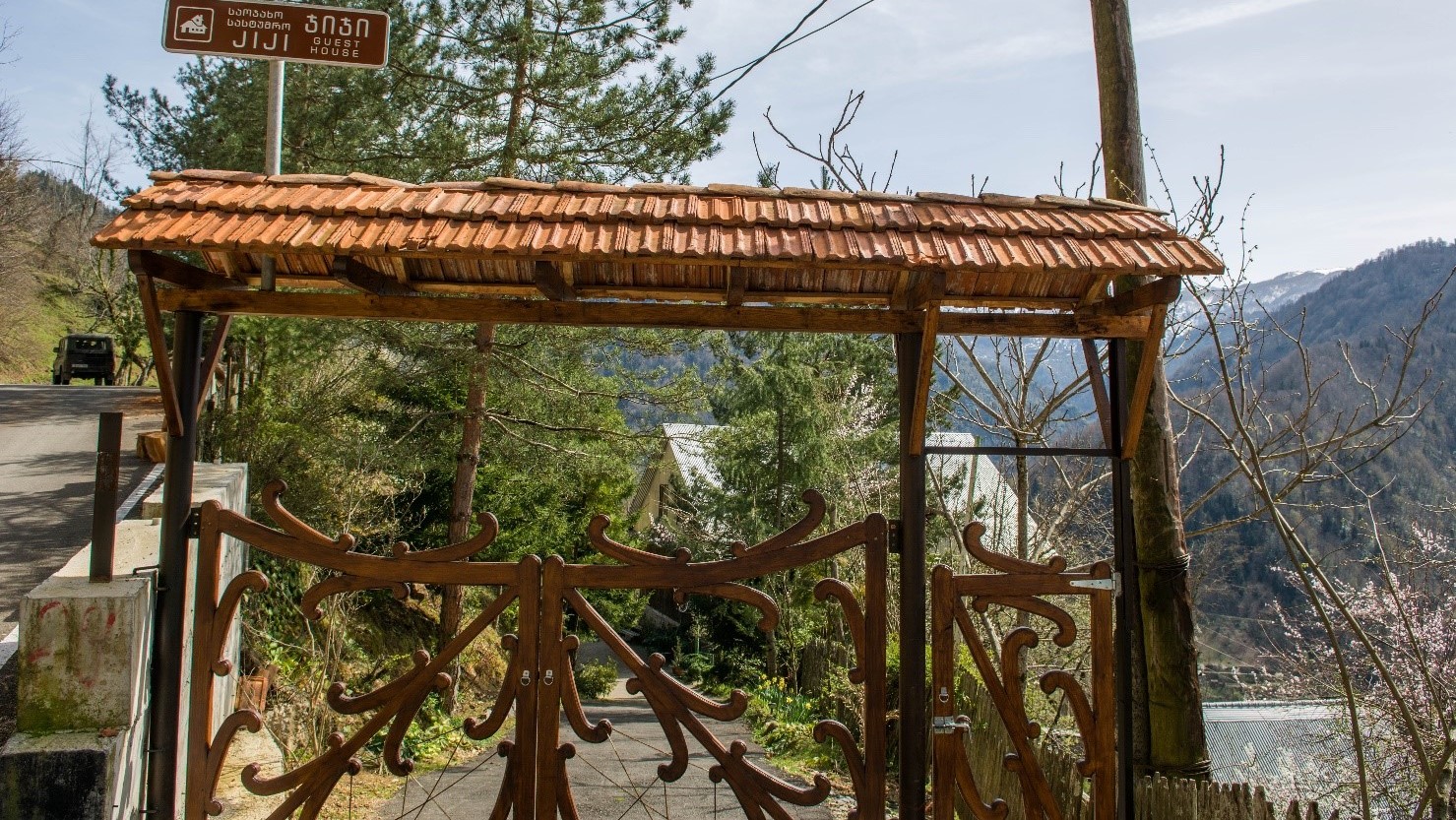
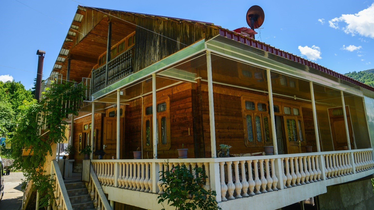
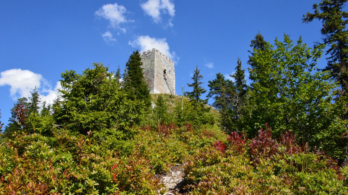
The route starts from the center of Keda. Before leaving for Merisi, you can visit the ruins of Zendidi fortress, as well as the ethnographic museum in the center of Keda. From the cen- ter of Keda, the road leads to Merisi waterfall. There are several family hotels along the road, where you can relax, taste the local cuisine or stay for a few days .
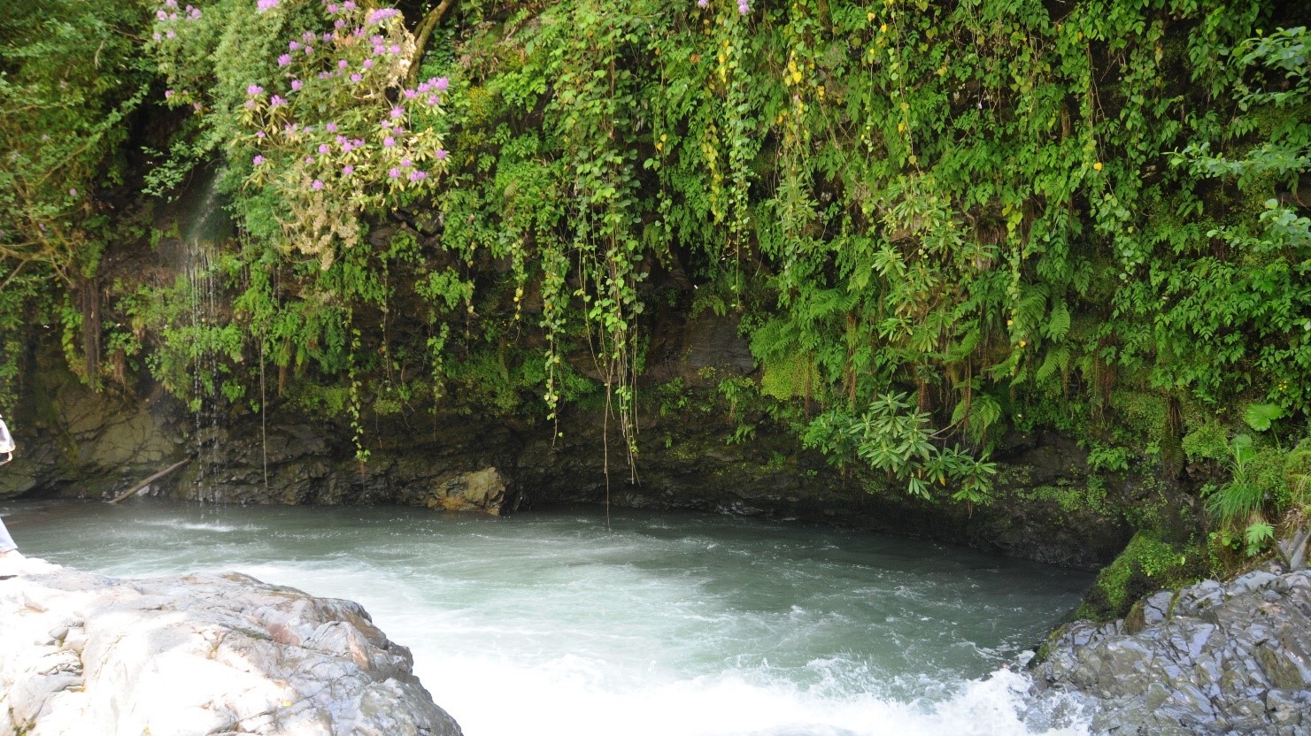
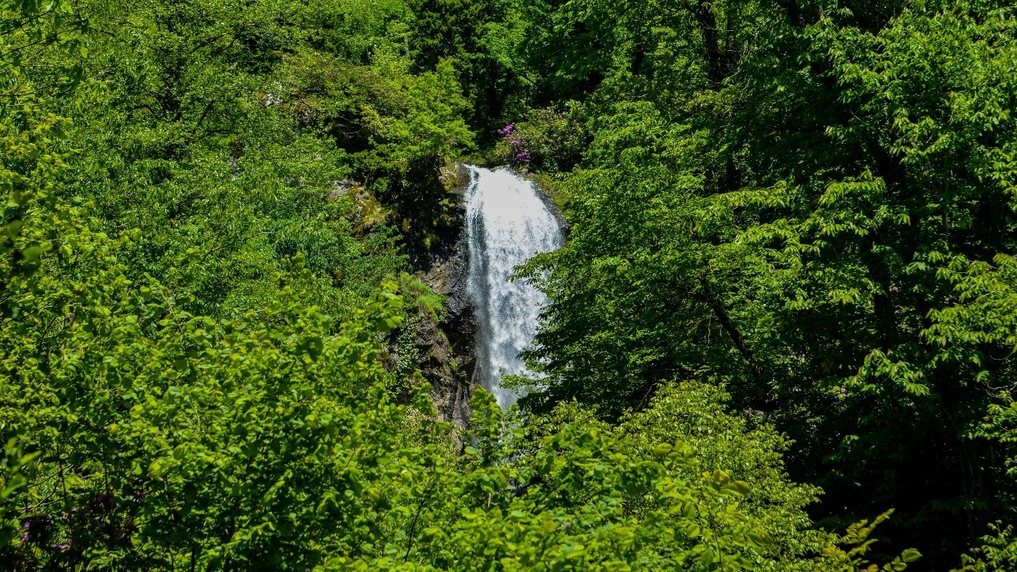
The height of Merisi waterfall is 30 meters. To get to the waterfall, you need to walk on a narrow forest path among the rhododendrons.
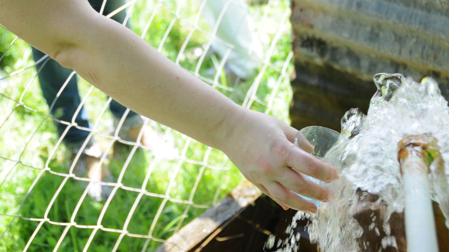
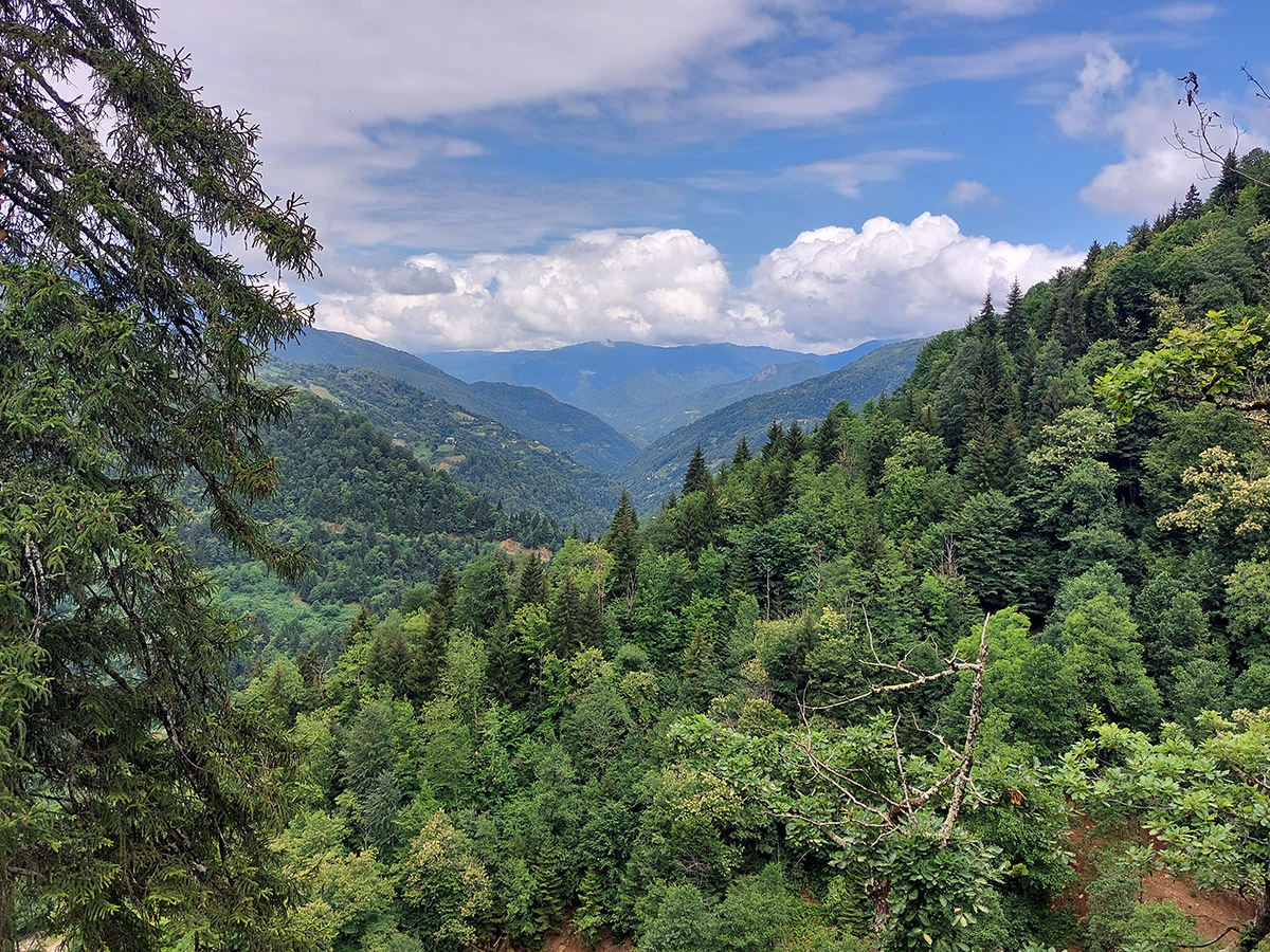
From the waterfall the road goes further to the source of mineral water “Gundauri” and a bea- utiful picnic area nearby the river Gvakha. The road is rural, unpaved and it is also possible to ride on it by bike. From Gvakha the route goes higher to the village of Garetke ("The Edge of the Forest"). The village is located at an altitude of 700 meters above the sea level, with the picturesque views of the mountains and surrounding areas. Another peculiarity of Garetke village is that it is home to a family engaged in folklore and teaching Georgian polyphonic singing.
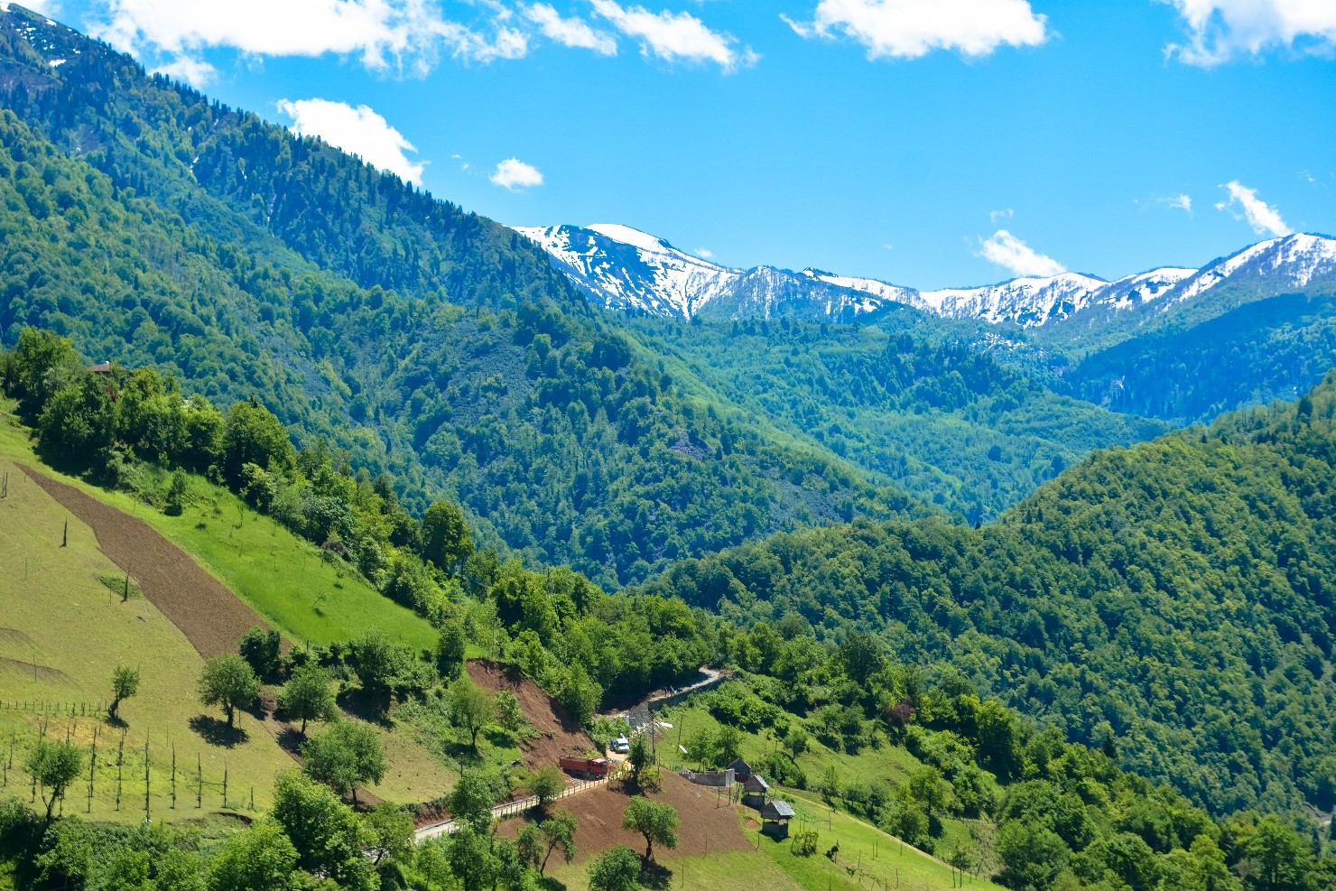
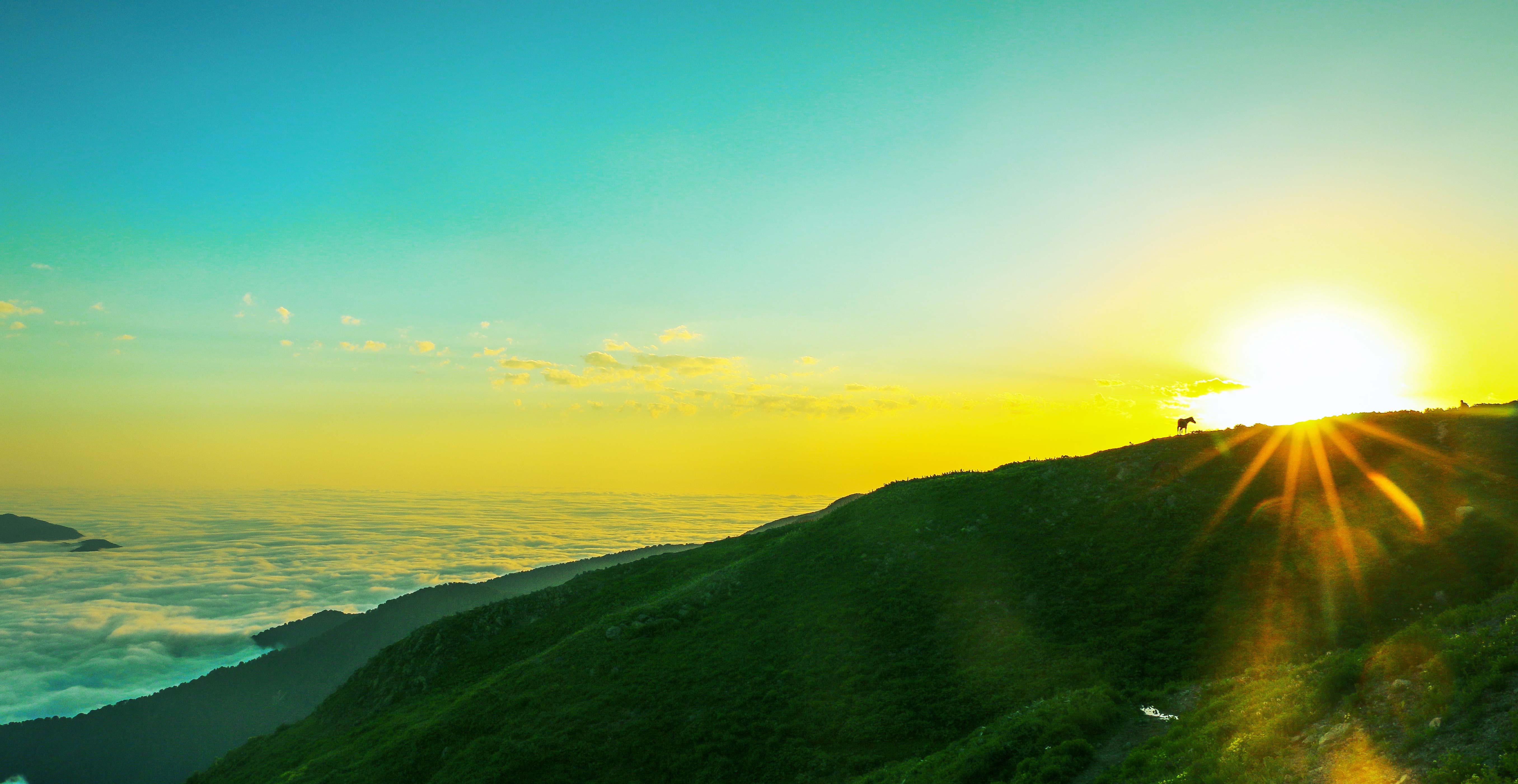
In summer and autumn you can arrange hiking in the mountains. The hiking route starts from the center of Keda and leads to the forests located higher in the Merisi gorge. Due to the complexity of the terrain, this route is also good for a jeep ride. During the whole trip you will have a chance to enjoy the beautiful scenery of the surroun- dings. At a distance of 10 km from Keda the mixed forest ends and the subalpine zone begins. This place is called Mtivnari. The temporary shepherd huts, as well as many places for camping are located here.
Transport
Minibus from Batumi to Merisi Departs every half hour from 15:00 to 17:30 daily from Batumi old station (1, Mayakovski st.)
Minibus from Merisi to Batumi Daily: 07:30, 08:00, 08:30 Cost 3 GEL
Minibus from Batumi to Garetke Departs daily from Batumi old station (1, Mayakovski st.) at 15:30
Minibus from Garetke to Batumi Daily at 08:00 Cost 3 GEL
For more information on transport and guides please call Tourist Information Centres
Tel: +995 577 90 90 91 / +995 577 90 90 93
or travel agencies, contacts of which can be found at the official website of the Department of Tourism and Resorts of Adjara www.gobatumi.com