Route type: hiking
Route length: 9.5 km from the center of Khulo
Paved road – 6.8 km
The dirt road (4x4) – 1.7 km
Hiking trail (difficult) - 1 km
Route duration: 1 day
Route altitude above sea level: from -885 m to 1320 m.
Route type: linear
Road surface: asphalt, soil
Cellular Coverage: Full
Season: May-September
The route is not marked
Route description
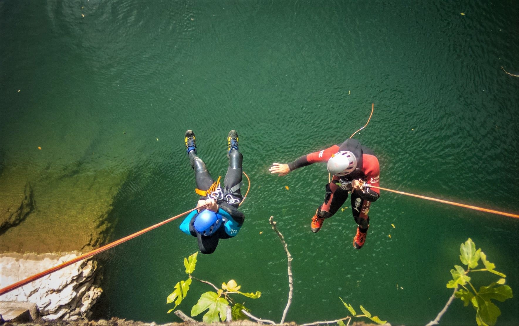
The route is very interesting for lovers of hiking and canyoning.
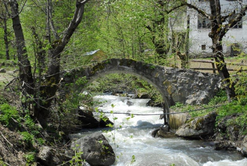
The route to Uchkho waterfalls starts from the center (Daba) Khulo, from where an asphalt road (6.8 km) leads to the village of Uchkho. In the village, you can see the stone arched bridge of the 12th century, as well as a mosque built long ago.
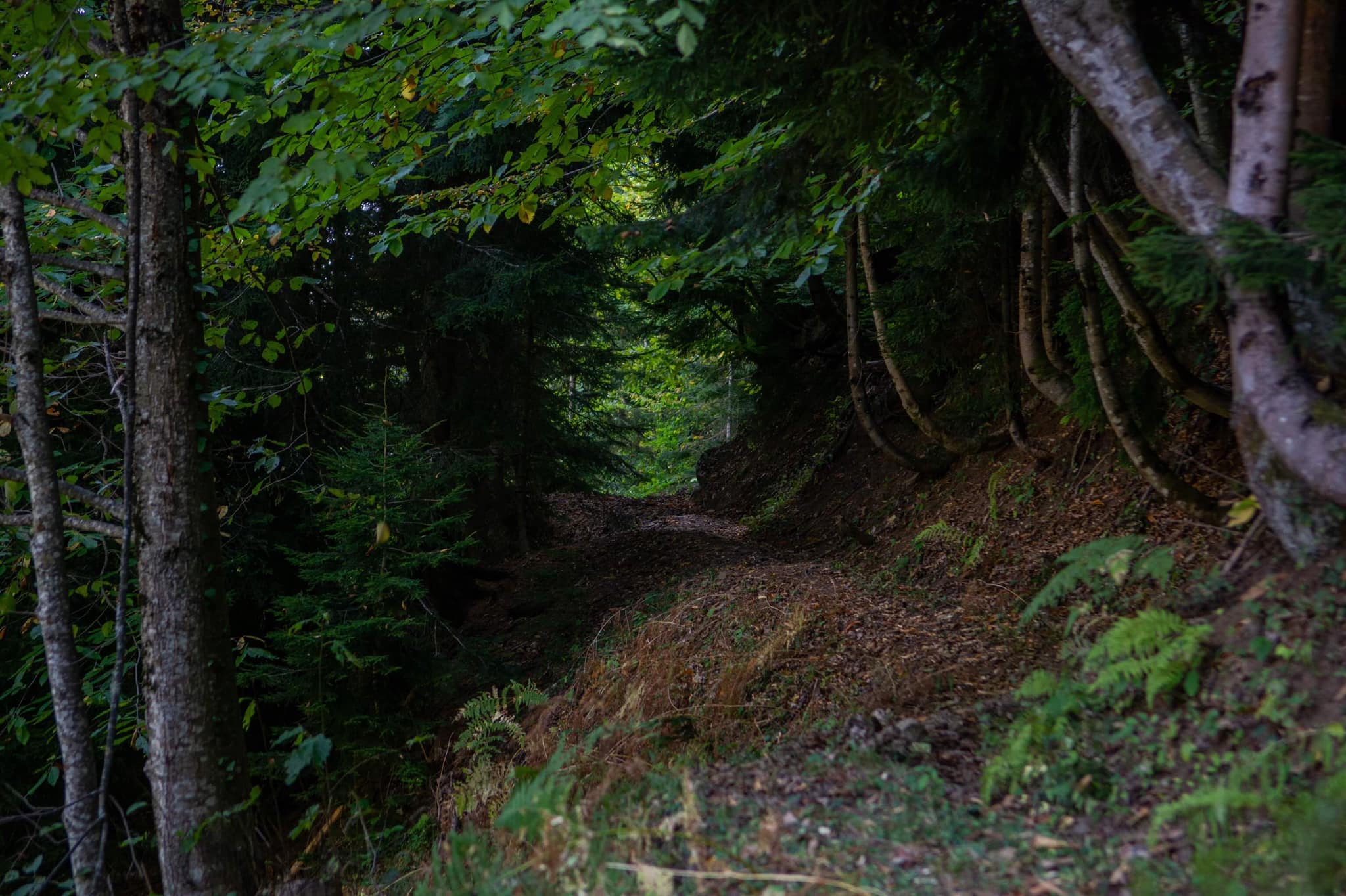
The route stretches from the center of the village along an asphalt road for 600 meters. Then a dirt road begins (it is better to overcome it on an off-road vehicle), which continues for 2 kilometers to the last house in the village. A hiking trail starts 300 meters from here, leading through the forest to the first 17-meter waterfall.
On the way, you will have to cross a small river. Getting to the second and third waterfalls is difficult due to the lack of paths. The only way to reach them is to cross the mountain slope on the right bank of the river. The third waterfall is a two-cascade: the height of the first waterfall is 7 meters, and the second one is 4 meters.
The fourth waterfall is located 15 meters from the third waterfall and it is also cascading. The height of the first cascade is 3 meters and the second 8 meters. Drinking water is found on the route only in the village, so it is recommended to take water with you.