Length - 3.6 km
Type: linear
Route difficulty: extreme
Terrain: mountainous
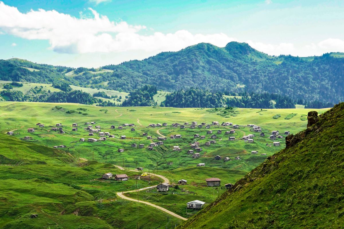
The bike route is designed for professionals. A long integrated bicycle and hiking path connects the villages of two mountainous regions of Ajara: Kldisubani (Shuakhevi) and Jalabashvilebi (Keda), and goes to the stone, historical, arched bridge in the village of Dandalo (Keda).
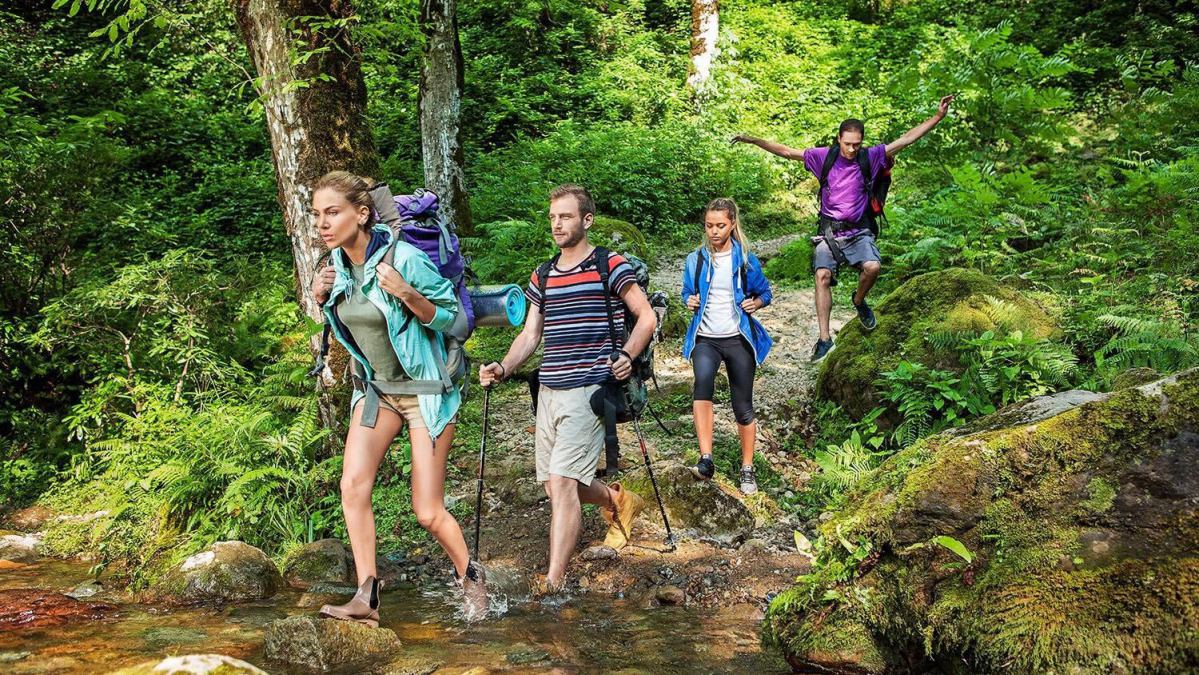
The bike path runs mostly through shaded broad-leaved woodlands. Here you will find both deciduous and coniferous endemic plants. For safety, from the beginning of the trail, all dangerous areas have a protective fence and all the necessary signs.
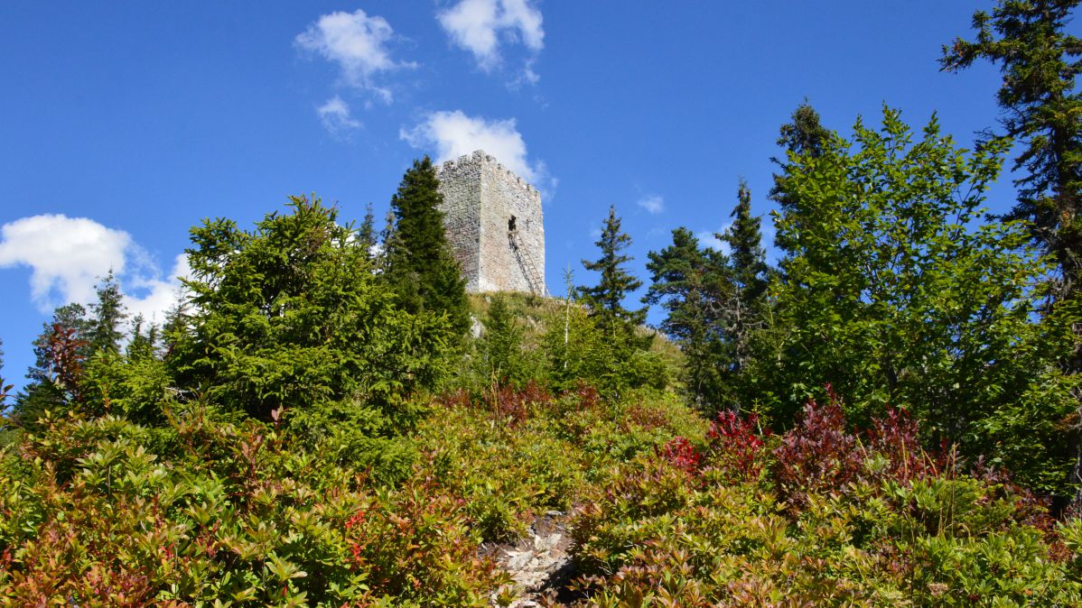
The main attraction that you can see on the trail is the historical fortress "Kaviani" (12-13 centuries), located in the middle of the route, at an altitude of about 700 meters above sea level, from where you can see the mountains, the Ajaristskali River, the center of the village of Khichauri and other nearby villages.
Near the fortress there is a recreation area, benches and swings. Here you can stop, relax and take beautiful, panoramic photos. After a few tens of meters, the bike path separates from the hiking one and goes to the left and up.
This section is for cyclists only and not for hikers (the hiking section goes separately: to the right and down). The bike path is a bit hilly and the marked section gets more extreme towards the end, with lots of hairpin turns and descents.
At dangerous places and sharp turns along the entire route, wooden, protective fences are installed. Immediately after the end of the bike path, you can take a break, then continue on to Djalabashvilebi village, and then to Dandalo village, where you will see another historical landmark - the stone arched bridge named after Queen Tamar.
The Kaviani bike path is a joint project of Tourist Product Development Agency and CENN, an organization created with the financial support of the Austrian Development Cooperation (ADC) as part of the Keda Leader project.