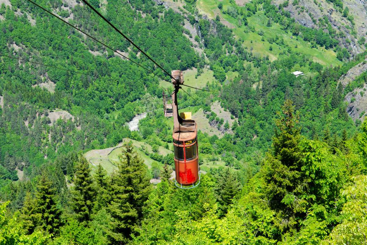
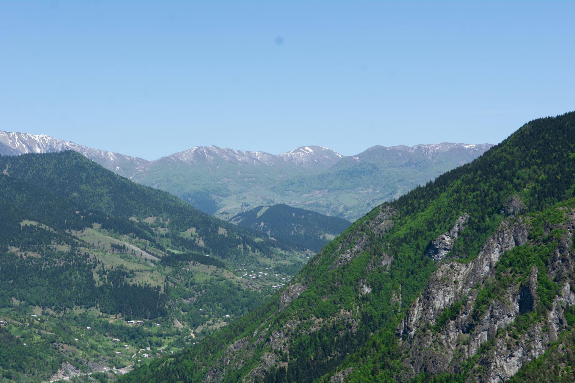
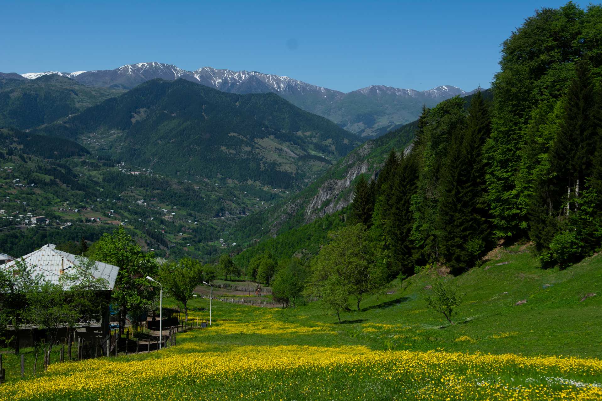
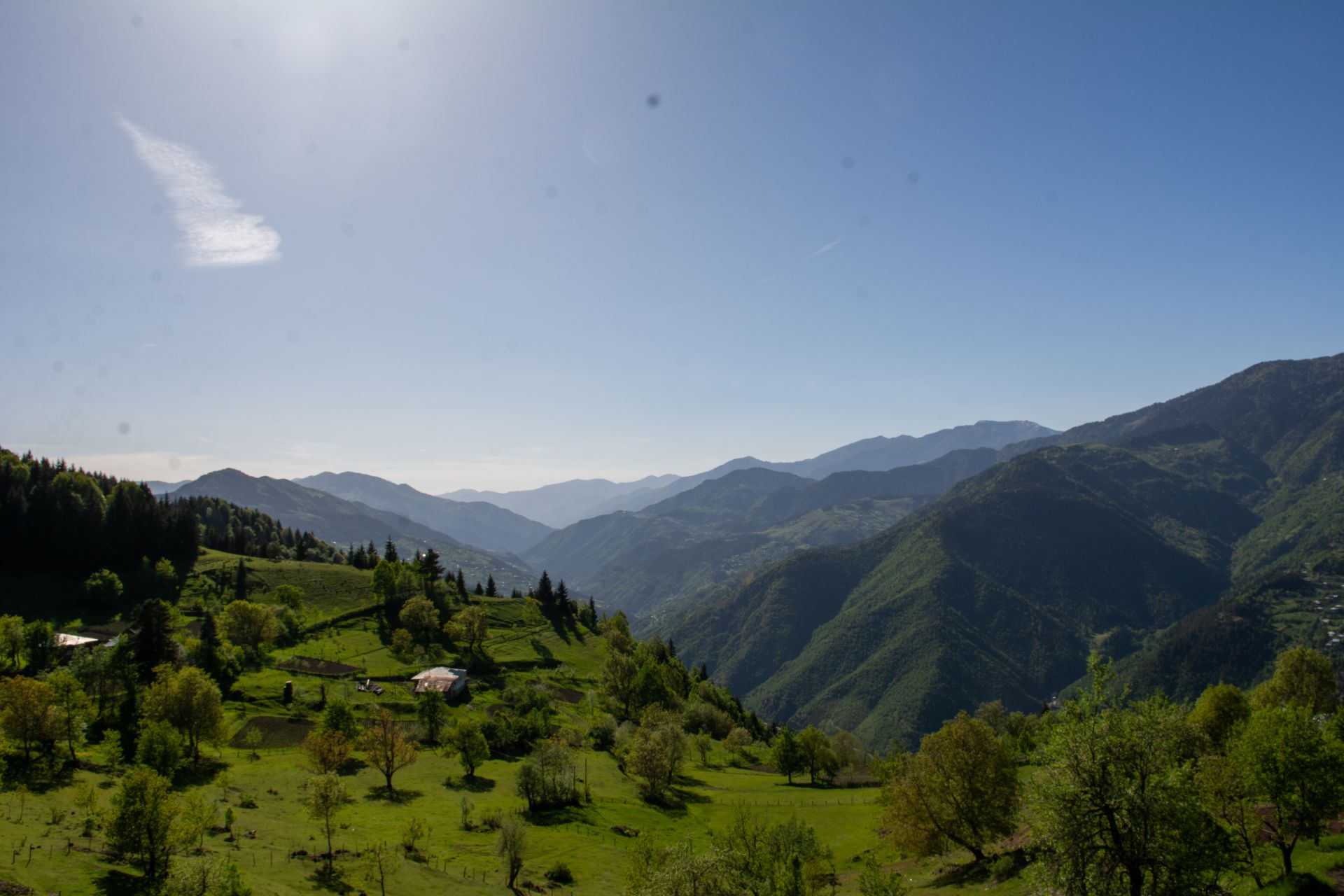
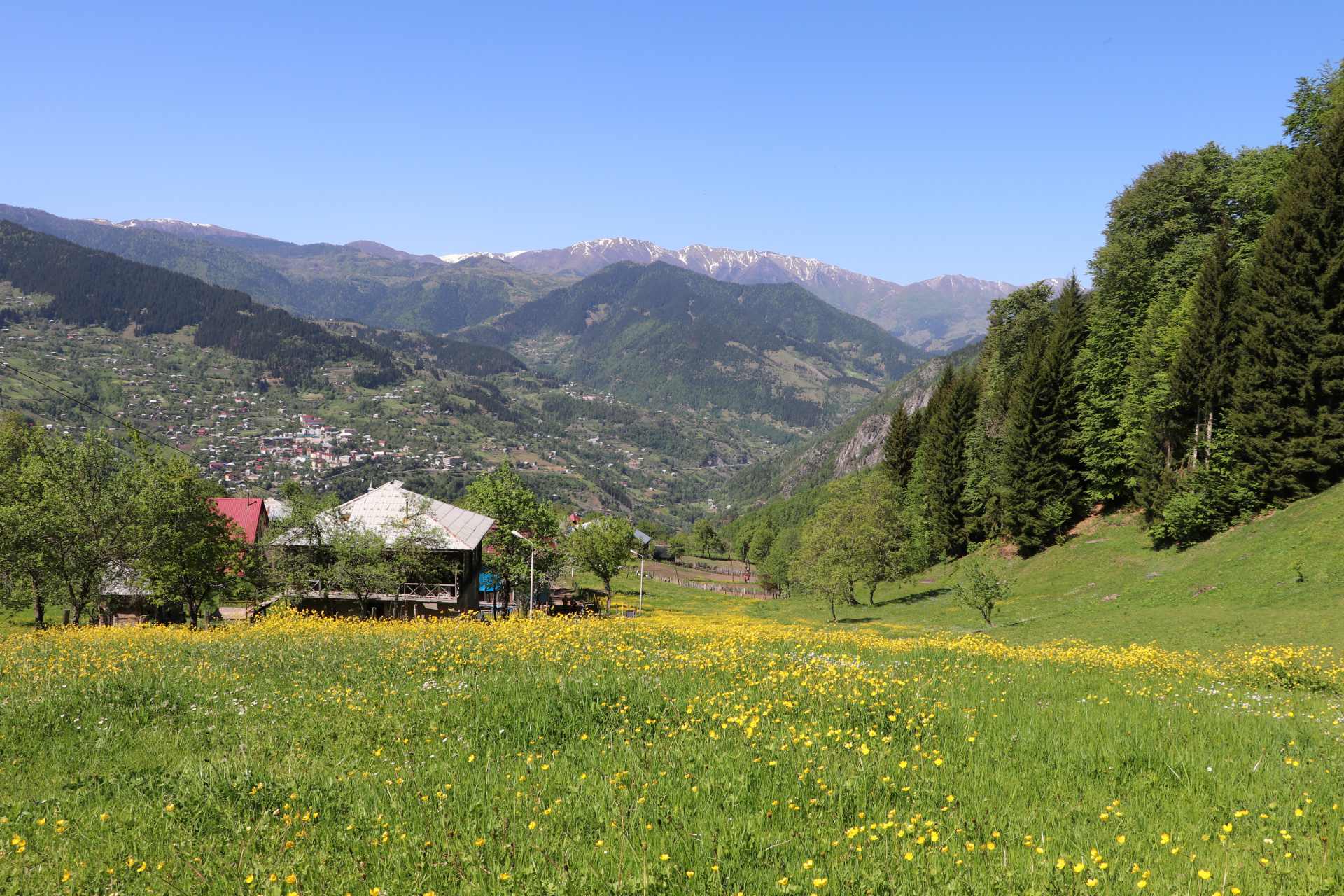
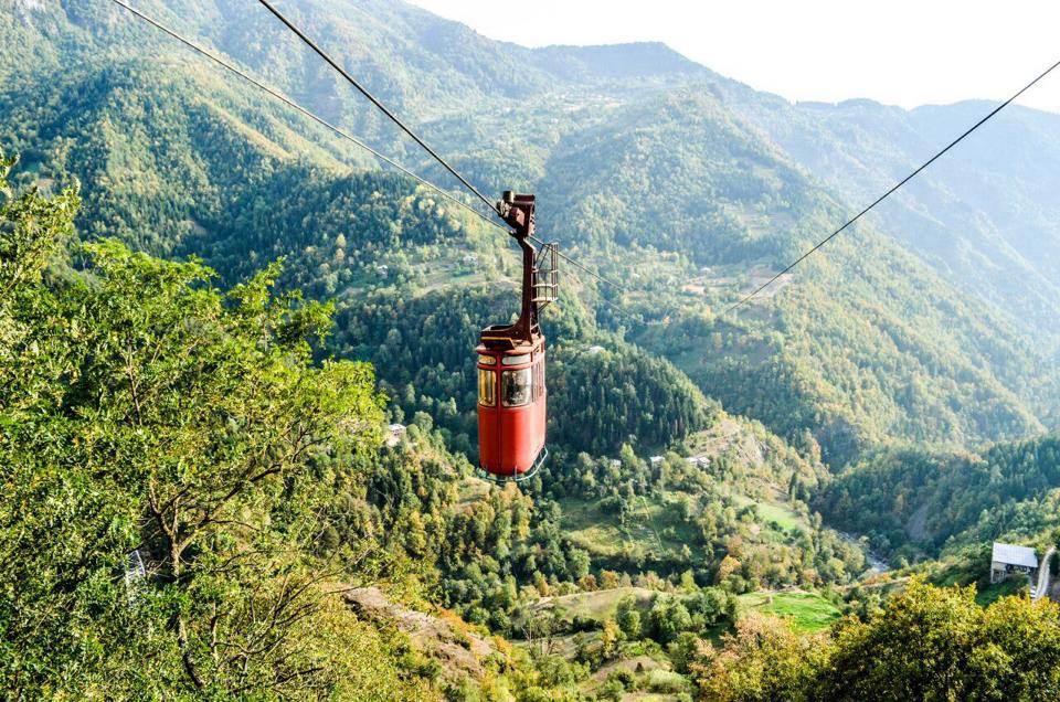
Tago village is located in Khulo municipality, on the left bank of the river Ajaristskali, at an altitude of 1000 meters above sea level, 95 km from Batumi and 7 km from the center of Khulo. Through a cable car 1800 meters long and 350 meters high, Tago is connected to Khulo, opening beautiful scenery views. From here you can reach the village of Skhalta by the shortest route. Along the way you will find places for camping and picnic.
What to see:
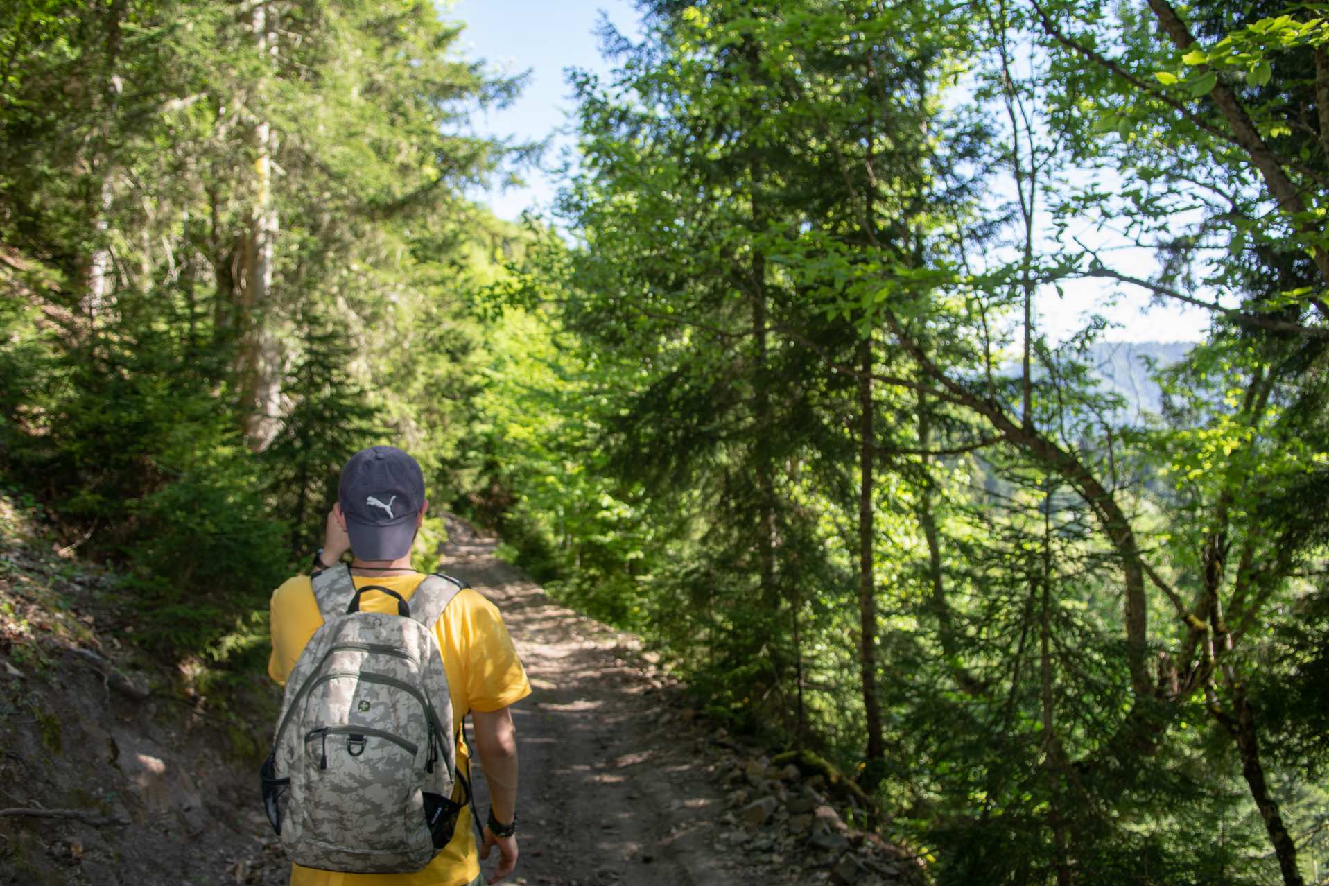
Cable car; the shortest way to get to Skhalta; Camping and picnic areas.
How to get there:
The minibus Batumi - Khulo, price 10 GEL. Address: Batumi Old Bus Station, Mayakovsky St. №1. Taxi 70-100 GEL
Photo gallery
Routes
View all the routes of this amazing place
Tago –Skhalta Route
Route difficulty: Easy Route type: linear, pedestrian Length: 9 km Duration: Tago-Shalta - 2 hours 45 minutes Shalta-Tago - 3 hours 10 minutes Max. Altitude - 1125 meters above sea level Cellular network coverage – full Cableway length 1719 m (8 minutes) Season: late spring to late autumn The Khulo-Skhalta hiking trail connects 2 gorges of the Khulo district of Adjara. The route is available in both dire ...