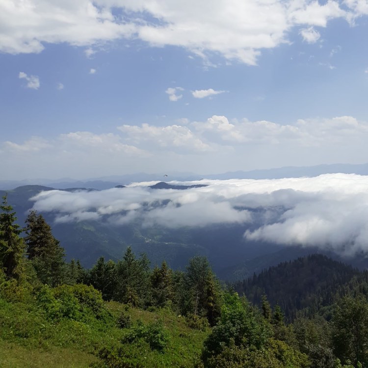
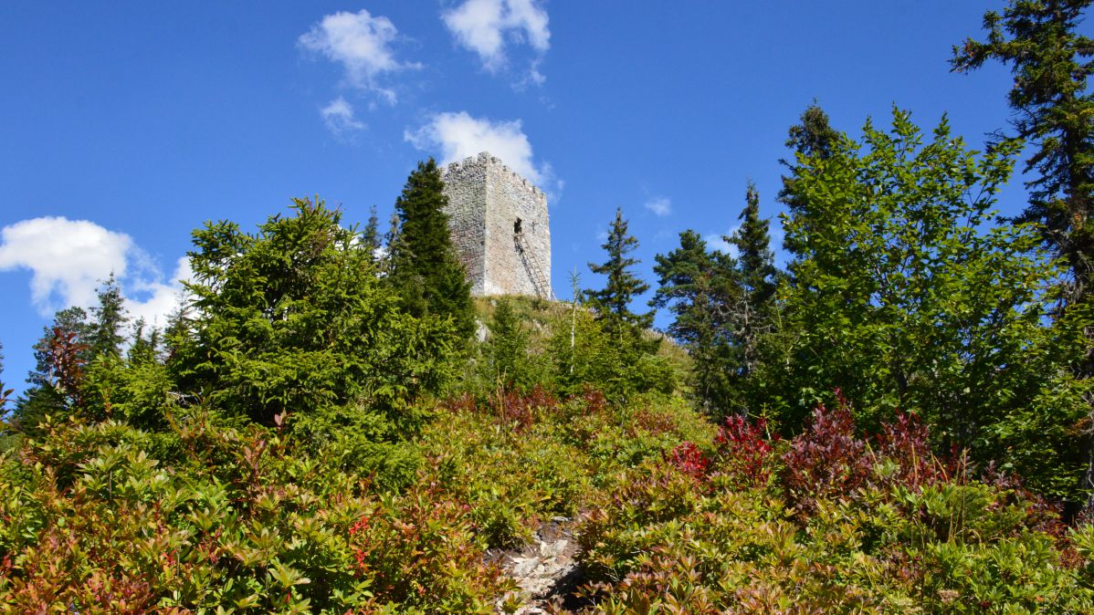
Oktomberi village - Didvake Mountain - Nakonagvari Mountain - Medzibna village

Type of route: linear, one-way
Type of route: hiking, car, horseback riding, cycling
Difficulty level: easy
Total length: 20 km
Maximum altitude above sea level: 1925 m
Duration: 9-10 hours
Cellular coverage area: partial
Season: April-September

The route is not marked

The route runs close to the Georgian-Turkish border, so you will need a special pass issued by the Border Police Department.


Oktomberi village - Didvake Mountain

The route starts in the Oktomberi village and passes along a dirt road in the forest. After 10 kilometers along the serpentine you will get to Mount Didvake, where there are summer settlements and pastures. Climbing Mount Didvake requires a special permit from the Border Police Department.


The village of Tsablana - Mount Goma

The hiking trail starts from the village of Merisi along a dirt road for SUVs, passes through the village of Garetke and continues along the serpentine to the summer settlement and pastures of Nakonagvari.

It offers a panoramic view of the surroudings and summer pastures. From Nakonagvari, you can continue on your way to Mount Didvake.

Other routes

Gordzhomi Gorge - Mount L ...

Difficulty of the route: difficult for a driving - (4x4); medium for hiking Route type: pedestrian, ...

Daba Khulo - Uchkho villa ...

Route type: hikingRoute length: 9.5 km from the center of KhuloPaved road – 6.8 kmThe dirt roa ...

Milisi village - Milisi M ...

Route type: linearRoute type: walking, car, cyclingDifficulty level: easyTotal: 14.2 kmMaximum heigh ...

Skhalta-Khikhani Route

  Route Type: Car Route Length: 104.3 km Duration: 2.5 - 3 hours Cellular network coverag ...

SKI RESORT “Goderdzi”

LOCATION: ADJARA, BATUMIDISTANCE FROM BATUMI: 115 KMDISTANCE FROM KHULO: 25 KM ALTITUDE: 2 000 MMAXI ...