Uchkho village
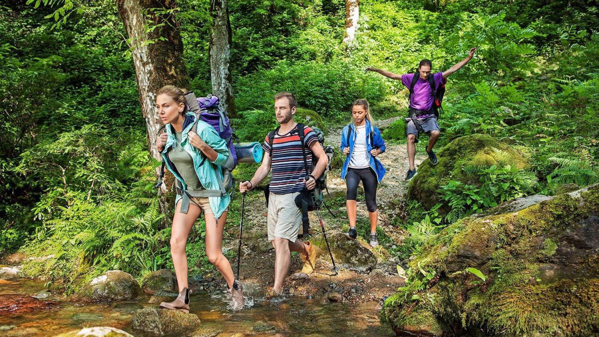
Located in Khulo municipality. The village is famous for its cascading waterfalls, where canyoning is developed.
Distance from Batumi to Uchkho by car: 2.5 hours / 90 km
Distance from Khulo center to Uchkho: 6.5 km
Transport within the village: 4/4
The route going towards Uchho waterfalls starts from the center of the village.
The starting point of the route is located at an altitude of 989 m above sea level, the final point is at an altitude of 1320 m above sea level.
Description of the short route:
Length: 700 m
Number of waterfalls: 6
Descent duration: 2-3 hours
Starting point altitude: 1300 m above sea level
Walking distance to the starting point of the descent: 700 m
Difficulty level: amateur
A short route starts from the sixth waterfall, which has two cascades. You can reach it by walking through a forest path along the mountainside, on the right bank of the river. Drinking water is available in the village and on the walking route.
Description of the long route.
Length: 1200 m
Number of waterfalls: 12
Descent duration: 4-5 hours
Starting point altitude: 2000 m above sea level
Walking distance to the starting point of the descent: 600 m
Difficulty level: amateur
Having passed from the village of Uchkho through the villages of Gudasakho and Kurtskhali (10 km), you will drive to the so-called Kishlebi yaylas (autumn pastures), in the Telnara region, to the waterfall, from where a long, two-hour route down the canyon begins. Drinking water is available both in the village and in Telnara.
Village Kapnistavi
Located in Khelvachauri municipality, 20 km from Batumi. The village is known for its cascading waterfalls and developed canyoning.
Village Kapnistavi:
2 km from the central highway
The starting point is located at an altitude of 360 m above sea level
The canyon is characterized by narrow closed gorges and high cliffs, which makes it technically challenging and interesting.
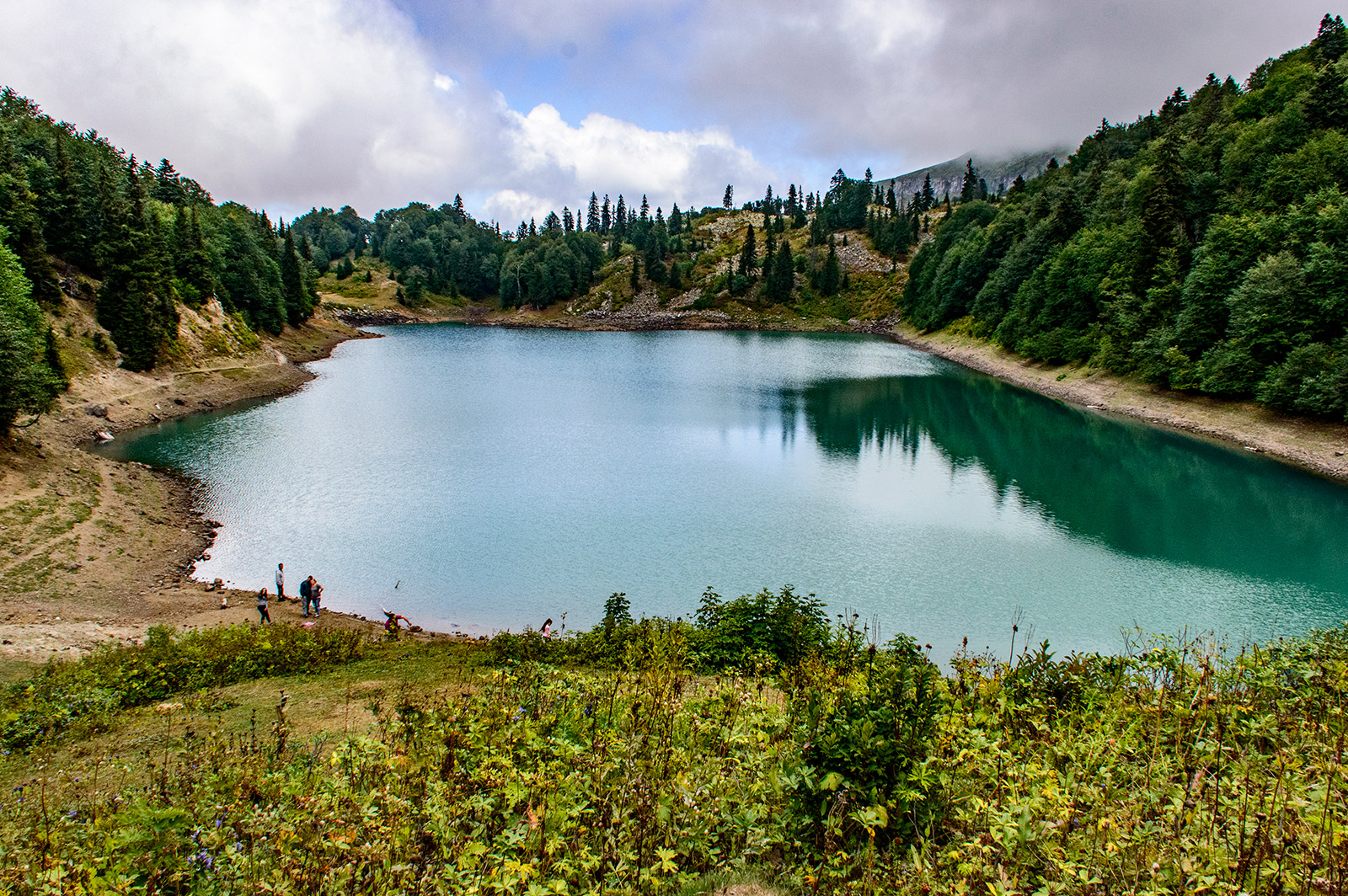
There are some backwaters and waterfall pools in the canyon.
Among the 8 waterfalls of the canyon, the highest one is located in the middle of the canyon and has a height of 35 meters.
The gorge is characterized by a uniform average water flow throughout the year, which slightly increases during the rainy and snowmelt seasons.
Near this waterfall there is a trail leading out of the canyon, which can also be used as an emergency exit.
Route description:
Total route length: 600 m
Number of waterfalls: 8
Duration: 3-4 hours
Starting point: 515 m above sea level
Final point: 360 m above sea level
Difficulty level: difficult
Canyoning season: June – September
We start our route at an altitude of 360 meters above sea level by climbing a few tens of meters up a metal ladder attached to the rock.
After that, the trail continues in a dense broad-leaved forest, along a narrow canyon gorge. The waterfalls are right next to the trail.
Having passed the trail and having risen to a height of 515 m above sea level, we reach the place where the descent along the canyon begins. Here we begin to set up and check the equipment.